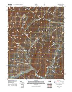
2011 Map of Bergton
USGS Topo · Published 2011About this map
Bergton sits at the convergence of several mountain waterways, where the German River meets the Crab Run and flows toward the North Fork Shenandoah River. This 2011 survey of the Rockingham County borderlands highlights a landscape defined by sharp ridges and deep hollows, including Shipe Hollow, Wetzel Hollow, and Mongold Hollow. Long-standing family names are preserved through features like Moyers Cemetery and Crab Run Cemetery, offering points of interest for those researching local lineage. The terrain is marked by significant peaks such as Flattop Mountain and Mine Mountain, while the Lost River cuts through the eastern portion of the quadrangle. Recreation and access are noted via the Blue Hole Campground and a network of secondary routes like Smith Mountain RD and Crab Run RD, which follow the natural contours of the stream valleys.
Find a feature on this map
48 named features on this map. Tap any name to fly to it.
Don’t see what you’re looking for? This feature index may not catch every label — zoom into the map to look around manually.
Map Details
Editions of this 2011 Bergton Map
This is the sole edition of this map. No revisions or reprints were ever made.
Other maps of this area

1892 · Franklin
USGS Topo · 1:125,000

1892 · Woodstock
USGS Topo · 1:125,000

1896 · Franklin
USGS Topo · 1:125,000

1920 · Petersburg
USGS Topo · 1:48,000

1921 · Orkney Springs
USGS Topo · 1:48,000

1921 · Petersburg
USGS Topo · 1:48,000

1922 · Fort Seybert
USGS Topo · 1:48,000

1922 · Petersburg
USGS Topo · 1:62,500

1923 · Orkney Springs
USGS Topo · 1:62,500

1924 · Fort Seybert
USGS Topo · 1:62,500