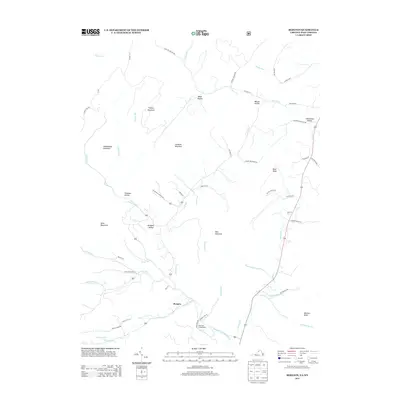
2013 Map of Bergton
USGS Topo · Published 2013About this map
Bergton sits at the convergence of several mountain streams in northern Rockingham County, where the German River and Capon Run navigate the narrow valleys between Mine Mountain and West Mountain. This topographic survey shows a landscape defined by deep hollows and high ridges, including family-named landmarks like Mongold Hollow, Wetzel Hollow, and Halterman Hollow. The waterway network is particularly complex here, with the headwaters of the N Fork-Shenandoah River flowing south while the Lost River skirts the eastern boundary. These drainage patterns influenced early road placement, such as Cullers Run and Crab Run, which follow the natural breaks in the terrain. Outdoor recreation is represented by the Blue Hole Campground, positioned along the riverbank south of the main settlement.
Find a feature on this map
60 named features on this map. Tap any name to fly to it.
Don’t see what you’re looking for? This feature index may not catch every label — zoom into the map to look around manually.
Map Details
Editions of this 2013 Bergton Map
This is the sole edition of this map. No revisions or reprints were ever made.
Other maps of this area

1892 · Franklin
USGS Topo · 1:125,000

1892 · Woodstock
USGS Topo · 1:125,000

1896 · Franklin
USGS Topo · 1:125,000

1920 · Petersburg
USGS Topo · 1:48,000

1921 · Orkney Springs
USGS Topo · 1:48,000

1921 · Petersburg
USGS Topo · 1:48,000

1922 · Fort Seybert
USGS Topo · 1:48,000

1922 · Petersburg
USGS Topo · 1:62,500

1923 · Orkney Springs
USGS Topo · 1:62,500

1924 · Fort Seybert
USGS Topo · 1:62,500