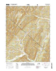
2016 Map of Bergton
USGS Topo · Published 2016About this map
Bergton sits at the confluence of several vital waterways in this 2016 survey of the Virginia and West Virginia borderlands. The landscape is defined by the headwaters of the German River and the North Fork Shenandoah River, which carve through the high ridges of the George Washington National Forest. Notable terrain features like Shenandoah Mountain, Church Mtn, and Mine Mtn dictate the settlement patterns, forcing local roads to follow the narrow hollows of Cullers Run and Crab Run. Local history is preserved in the small burial grounds of Crab Run Cem and Moyers Cem, while landmarks like the Blue Hole reflect the deep connection between the community and its river system. The map captures a quiet rural corridor where state and county lines track across high mountain summits.
Find a feature on this map
80 named features on this map. Tap any name to fly to it.
Don’t see what you’re looking for? This feature index may not catch every label — zoom into the map to look around manually.
Map Details
Editions of this 2016 Bergton Map
This is the sole edition of this map. No revisions or reprints were ever made.
Other maps of this area
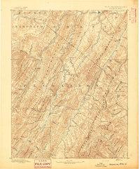
1892 · Franklin
USGS Topo · 1:125,000
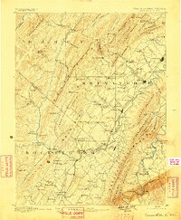
1892 · Woodstock
USGS Topo · 1:125,000
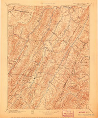
1896 · Franklin
USGS Topo · 1:125,000
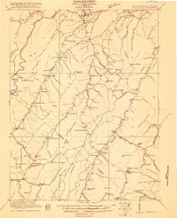
1920 · Petersburg
USGS Topo · 1:48,000
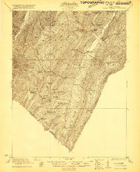
1921 · Orkney Springs
USGS Topo · 1:48,000
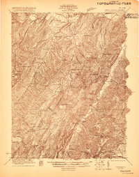
1921 · Petersburg
USGS Topo · 1:48,000
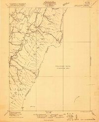
1922 · Fort Seybert
USGS Topo · 1:48,000
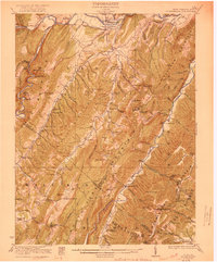
1922 · Petersburg
USGS Topo · 1:62,500
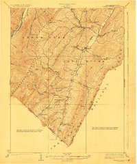
1923 · Orkney Springs
USGS Topo · 1:62,500
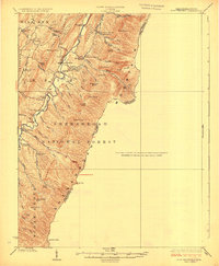
1924 · Fort Seybert
USGS Topo · 1:62,500