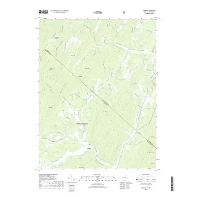
2019 Map of Bergton
USGS Topo · Published 2019About this map
The settlement of Bergton serves as the focal point for this survey of the high Appalachians along the border of West Virginia and Virginia. Situated at the confluence of the German River and Crab Run, the area is defined by a dense network of mountain ridges and deep hollows. Much of the landscape is protected under the George Washington National Forest, where steep terrain includes Shenandoah Mountain, Mine Mtn, and Bald Knob. Local family history is preserved at sites like Crab Run Cem and Moyers Cem, which sit above the valley floor. The geography here is notably defined by its hydrology, with unique features such as the Blue Hole on the North Fork Shenandoah River and numerous named drainages like Mongold Hollow and Feathers Hollow that cut through the ancient rock of the ridge-and-valley province.
Find a feature on this map
89 named features on this map. Tap any name to fly to it.
Don’t see what you’re looking for? This feature index may not catch every label — zoom into the map to look around manually.
Map Details
Editions of this 2019 Bergton Map
This is the sole edition of this map. No revisions or reprints were ever made.
Other maps of this area
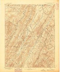
1892 · Franklin
USGS Topo · 1:125,000
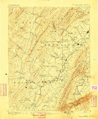
1892 · Woodstock
USGS Topo · 1:125,000
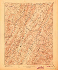
1896 · Franklin
USGS Topo · 1:125,000
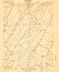
1920 · Petersburg
USGS Topo · 1:48,000
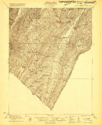
1921 · Orkney Springs
USGS Topo · 1:48,000
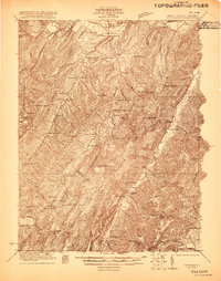
1921 · Petersburg
USGS Topo · 1:48,000
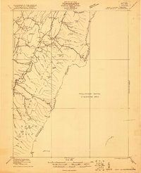
1922 · Fort Seybert
USGS Topo · 1:48,000
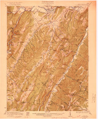
1922 · Petersburg
USGS Topo · 1:62,500
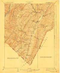
1923 · Orkney Springs
USGS Topo · 1:62,500
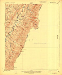
1924 · Fort Seybert
USGS Topo · 1:62,500