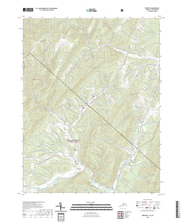
2022 Map of Bergton
USGS Topo · Published 2022About this map
Bergton sits at the heart of this study, nestled at the confluence of the German River and Crab Run where the North Fork Shenandoah River begins its course. The landscape is defined by the high ridges of the George Washington National Forest, where family-named peaks like Fallbush Mtn and Gobblebark Mtn divide deep hollows. This area on the Virginia and West Virginia border reflects a long-standing rural community structure, characterized by small family cemeteries and mountain gaps.
Find a feature on this map
100 named features on this map. Tap any name to fly to it.
Don’t see what you’re looking for? This feature index may not catch every label — zoom into the map to look around manually.
Map Details
Editions of this 2022 Bergton Map
This is the sole edition of this map. No revisions or reprints were ever made.
Other maps of this area

1892 · Franklin
USGS Topo · 1:125,000

1892 · Woodstock
USGS Topo · 1:125,000

1896 · Franklin
USGS Topo · 1:125,000

1920 · Petersburg
USGS Topo · 1:48,000

1921 · Orkney Springs
USGS Topo · 1:48,000

1921 · Petersburg
USGS Topo · 1:48,000

1922 · Fort Seybert
USGS Topo · 1:48,000

1922 · Petersburg
USGS Topo · 1:62,500

1923 · Orkney Springs
USGS Topo · 1:62,500

1924 · Fort Seybert
USGS Topo · 1:62,500