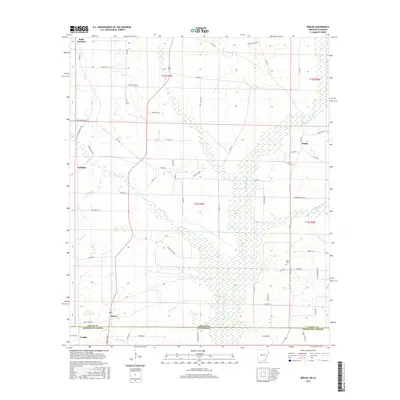
2017 Map of Berlin
USGS Topo · Published 2017About this map
The Arkansas Louisiana state line bisects this landscape where Morehouse Parish meets Ashley County. The terrain is defined by a dense network of waterways, most notably the wide, marshy corridor of Chemin-A-Haut Bayou and Chemin-A-Haut Cr which meander through the center of the sheet. Small settlements like Berlin and Gulledge are connected by a grid of rural roads such as Ashley 23 and Ashley 710, reflecting the agricultural and timber-based layout of the borderlands.
Find a feature on this map
73 named features on this map. Tap any name to fly to it.
Don’t see what you’re looking for? This feature index may not catch every label — zoom into the map to look around manually.
Map Details
Editions of this 2017 Berlin Map
This is the sole edition of this map. No revisions or reprints were ever made.
Other maps of this area
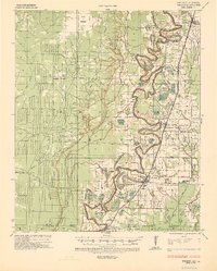
1935 · Wilmot
USGS Topo · 1:62,500
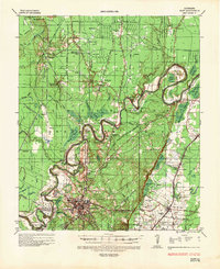
1935 · Naff
USGS Topo · 1:62,500
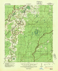
1935 · Bonita
USGS Topo · 1:62,500

1953 · Greenwood
USGS Topo · 1:250,000

1955 · Jackson
USGS Topo · 1:250,000

1956 · Greenwood
USGS Topo · 1:250,000
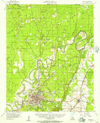
1956 · Bastrop
USGS Topo · 1:62,500
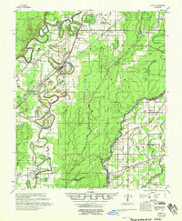
1958 · Bonita
USGS Topo · 1:62,500
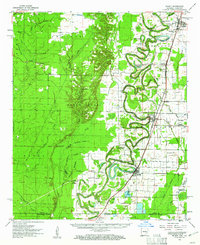
1960 · Wilmot
USGS Topo · 1:62,500
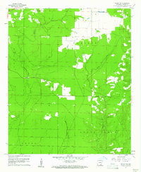
1960 · Wilmot NW
USGS Topo · 1:24,000