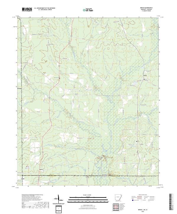
2024 Map of Berlin
USGS Topo · Published 2024About this map
The low-lying wetlands and creek systems of Ashley Co, Arkansas, and Morehouse Parish, Louisiana, converge at the state border in this modern-day survey. The landscape is defined by the winding paths of Chemin-A-Haut Creek and its many tributaries, including Hanks Creek and White Oak Creek. These waterways dictate the local geography, weaving between established settlements like Berlin and Gulledge.
Find a feature on this map
79 named features on this map. Tap any name to fly to it.
Don’t see what you’re looking for? This feature index may not catch every label — zoom into the map to look around manually.
Map Details
Editions of this 2024 Berlin Map
This is the sole edition of this map. No revisions or reprints were ever made.
Other maps of this area

1935 · Wilmot
USGS Topo · 1:62,500

1935 · Naff
USGS Topo · 1:62,500

1935 · Bonita
USGS Topo · 1:62,500

1953 · Greenwood
USGS Topo · 1:250,000

1955 · Jackson
USGS Topo · 1:250,000

1956 · Greenwood
USGS Topo · 1:250,000

1956 · Bastrop
USGS Topo · 1:62,500

1958 · Bonita
USGS Topo · 1:62,500

1960 · Wilmot
USGS Topo · 1:62,500

1960 · Wilmot NW
USGS Topo · 1:24,000