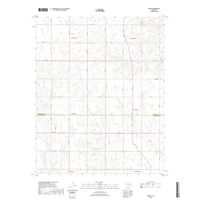
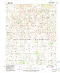
2018 Map of Berlin
USGS Topo · Published 2018About this map
Berlin serves as the central point for this high-plains landscape where Oklahoma’s Roger Mills and Beckham County line meets. The territory is defined by a dense network of water management features, including several family-named impoundments such as Shotwell Number 1, Shotwell Number 2, McLaury Number 1 Reservoir, and the Allison Reservoir. These man-made features are interspersed among natural drainage systems like Sandstone Creek and Long Creek, reflecting the region's reliance on agricultural water security.
Find a feature on this map
25 named features on this map. Tap any name to fly to it.
Don’t see what you’re looking for? This feature index may not catch every label — zoom into the map to look around manually.
Map Details
Editions of this 2018 Berlin Map
This is the sole edition of this map. No revisions or reprints were ever made.
Other maps of this area

1955 · Clinton
USGS Topo · 1:250,000

1957 · Clinton
USGS Topo · 1:250,000
1960 · Sweetwater
USGS Topo · 1:62,500
1960 · Cheyenne
USGS Topo · 1:62,500
1960 · Sayre
USGS Topo · 1:62,500
1961 · Reydon
USGS Topo · 1:62,500
1984 · Foss Reservoir
USGS Topo · 1:100,000
1985 · Elk City
USGS Topo · 1:100,000
1988 · Grimes
USGS Topo · 1:24,000
1988 · Dempsey
USGS Topo · 1:24,000