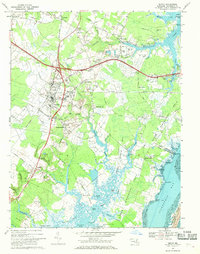
1967 Map of Berlin
USGS Topo · Published 1969About this map
Berlin serves as the inland hub for this coastal Maryland landscape, situated at the junction of the Penn Central railroad and significant local thoroughfares like the Baltimore and Eastern Road. The town's historical fabric is evident in landmarks such as the Buckingham Cem and the Stephen Decatur Monument, honoring the local naval hero. Surrounding the town, smaller settlements like Germantown, Briddletown, and Taylorville dot a terrain defined by complex waterways and low-lying peninsulas.
Find a feature on this map
101 named features on this map. Tap any name to fly to it.
Don’t see what you’re looking for? This feature index may not catch every label — zoom into the map to look around manually.
Map Details
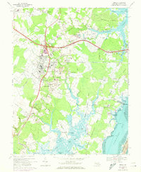
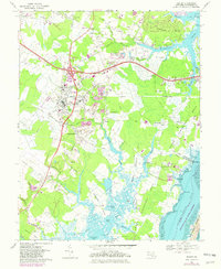
Editions of this 1967 Berlin Map
3 editions found
Other maps of this area

1901 · Snow Hill
USGS Topo · 1:62,500

1901 · Green Run
USGS Topo · 1:62,500

1901 · Ocean City
USGS Topo · 1:62,500

1902 · Pittsville
USGS Topo · 1:62,500

1938 · Green Run
USGS Topo · 1:62,500

1942 · Ocean City
USGS Topo · 1:62,500

1942 · Ninepin
USGS Topo · 1:24,000

1942 · Ocean City
USGS Topo · 1:24,000

1942 · Tingles Island
USGS Topo · 1:24,000

1942 · Wesley
USGS Topo · 1:24,000