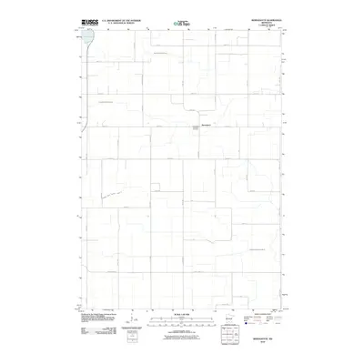
2010 Map of Bernadotte
USGS Topo · Published 2010About this map
Bernadotte serves as the focal point of this agricultural landscape in southern Minnesota, anchored by the Bernadotte Lutheran Cemetery along 340th St. The terrain is characterized by a sophisticated network of water management features, including the South Branch Rush River and several major drainage systems such as Judicial Ditch Number Six and County Ditch Number Forty A. These engineering projects reflect the intensive land use required for high-yield farming in the region.
Find a feature on this map
34 named features on this map. Tap any name to fly to it.
Don’t see what you’re looking for? This feature index may not catch every label — zoom into the map to look around manually.
Map Details
Editions of this 2010 Bernadotte Map
This is the sole edition of this map. No revisions or reprints were ever made.
Other maps of this area

1953 · New Ulm
USGS Topo · 1:250,000

1957 · New Ulm
USGS Topo · 1:250,000

1958 · New Ulm
USGS Topo · 1:250,000

1958 · Gaylord
USGS Topo · 1:62,500

1958 · Winthrop
USGS Topo · 1:62,500

1964 · Bernadotte
USGS Topo · 1:24,000

1964 · New Ulm
USGS Topo · 1:24,000

1964 · Courtland
USGS Topo · 1:24,000

1964 · Lafayette
USGS Topo · 1:24,000

1965 · New Sweden
USGS Topo · 1:24,000