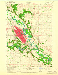
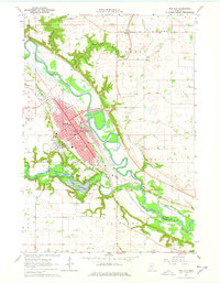
1964 Map of New Ulm
USGS Topo · Published 1965About this map
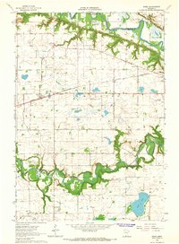
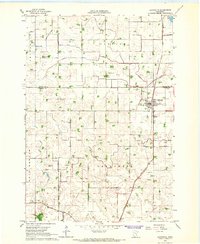
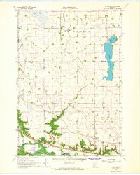
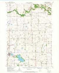
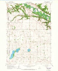
New Ulm occupies the valley where the Minnesota River and Cottonwood River meet, shown here during a period of mid-century growth. The town's grid is dominated by landmarks such as Martin Luther College, Loretto Hospital, and the Hermann Monument overlooking the western bluffs. Along the southern edge, Flandrau State Park protects the winding path of the Lake Cottonwood reservoir. Transportation and industry are centered on the Chicago and North Western rail lines and the New Ulm Municipal Airport. Beyond the city limits, the landscape transitions to the agricultural townships of Lafayette and Courtland, where smaller settlements like Klossner and numerous rural schools, such as School No 1274, dot the prairie. The map records several cemeteries, including the Lutheran Cemetery, Catholic Cemetery, and St Josephs Cem, providing valuable points of interest for genealogical research.
Find a feature on this map
61 named features on this map. Tap any name to fly to it.
Don’t see what you’re looking for? This feature index may not catch every label — zoom into the map to look around manually.
Map Details
Editions of this 1964 New Ulm Map
2 editions found
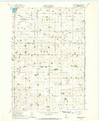
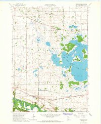
Other maps of this area

1953 · New Ulm
USGS Topo · 1:250,000

1957 · New Ulm
USGS Topo · 1:250,000

1958 · New Ulm
USGS Topo · 1:250,000
1964 · Bernadotte
USGS Topo · 1:24,000
1964 · Courtland
USGS Topo · 1:24,000
1964 · Essig
USGS Topo · 1:24,000
1964 · Lafayette
USGS Topo · 1:24,000
1964 · St George
USGS Topo · 1:24,000
1965 · Hanska
USGS Topo · 1:24,000
1965 · Cambria
USGS Topo · 1:24,000