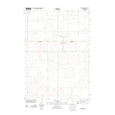
2013 Map of Bernadotte
USGS Topo · Published 2013About this map
The small settlement of Bernadotte sits at the intersection of local routes along the boundary between Sibley Co and Nicollet Co. This agricultural landscape is defined by an intricate network of water management, where the natural course of the S Br Rush River is supplemented by man-made channels including Judicial Ditch Number Six and County Ditch Number Forty A. These features reflect a legacy of land drainage essential for farming in this part of southern Minnesota.
Find a feature on this map
29 named features on this map. Tap any name to fly to it.
Don’t see what you’re looking for? This feature index may not catch every label — zoom into the map to look around manually.
Map Details
Editions of this 2013 Bernadotte Map
This is the sole edition of this map. No revisions or reprints were ever made.
Other maps of this area

1953 · New Ulm
USGS Topo · 1:250,000

1957 · New Ulm
USGS Topo · 1:250,000

1958 · New Ulm
USGS Topo · 1:250,000

1958 · Gaylord
USGS Topo · 1:62,500

1958 · Winthrop
USGS Topo · 1:62,500

1964 · Bernadotte
USGS Topo · 1:24,000

1964 · New Ulm
USGS Topo · 1:24,000

1964 · Courtland
USGS Topo · 1:24,000

1964 · Lafayette
USGS Topo · 1:24,000

1965 · New Sweden
USGS Topo · 1:24,000