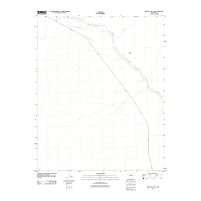
2010 Map of Bernalillo NW
USGS Topo · Published 2010About this map
The Jemez River corridor defines the northeastern landscape of this portion of Sandoval County, cutting a distinct path through the arid high-desert terrain. Flowing southeast toward the Rio Grande valley, the river is flanked by the braided drainage systems of Arroyo Arenoso and Arroyo Otto, which illustrate the region's episodic water patterns and erosion-carved topography. A single man-made landmark, the Jemez Windmill, stands as a testament to the essential role of water management in this sparsely developed rangeland. The map provides a detailed view of the primary transit corridor through the area, capturing the intersection of natural watercourses and modern highway infrastructure during the early 21st century.
Find a feature on this map
4 named features on this map. Tap any name to fly to it.
Don’t see what you’re looking for? This feature index may not catch every label — zoom into the map to look around manually.
Map Details
Editions of this 2010 Bernalillo NW Map
This is the sole edition of this map. No revisions or reprints were ever made.
Other maps of this area

1888 · Bernalillo
USGS Topo · 1:125,000

1889 · Albuquerque
USGS Topo · 1:125,000

1890 · Jemes
USGS Topo · 1:125,000

1892 · Jemes
USGS Topo · 1:125,000

1893 · Albuquerque
USGS Topo · 1:125,000

1939 · San Ysidro
USGS Topo · 1:62,500

1943 · San Ysidro
USGS Topo · 1:62,500

1943 · Jemez
USGS Topo · 1:62,500

1952 · Jemez
USGS Topo · 1:62,500

1953 · Bernalillo NW
USGS Topo · 1:24,000