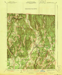
1941 Map of Bernardston
USGS Topo · Published 1941About this map
Falls River carves a central valley through this 1941 survey of Franklin County, Massachusetts, anchoring the transportation corridor for both the Boston and Maine and Central Vermont railroads. The village of Bernardston serves as the primary hub, while the surrounding hills are dotted with a high density of small district schools, including Sunnyside Sch, East Hill Sch, and the Bald Mountain Sch.
Find a feature on this map
53 named features on this map. Tap any name to fly to it.
Don’t see what you’re looking for? This feature index may not catch every label — zoom into the map to look around manually.
Map Details
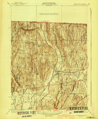
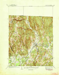
Editions of this 1941 Bernardston Map
3 editions found
Other maps of this area

1887 · Warwick
USGS Topo · 1:62,500

1889 · Warwick
USGS Topo · 1:62,500

1890 · Greenfield
USGS Topo · 1:62,500

1891 · Brattleboro
USGS Topo · 1:62,500

1893 · Brattleboro
USGS Topo · 1:62,500

1894 · Greenfield
USGS Topo · 1:62,500

1894 · Warwick
USGS Topo · 1:62,500

1898 · Keene
USGS Topo · 1:62,500

1932 · Brattleboro
USGS Topo · 1:48,000

1932 · Warwick
USGS Topo · 1:48,000