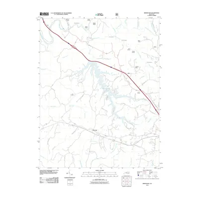
2010 Map of Bernstadt
USGS Topo · Published 2010About this map
The Rockcastle River and Little Rockcastle River converge in the northwestern corner of this landscape, carving through a terrain defined by ridges and deep hollows. The settlement of Bernstadt anchors the southern portion of the sheet, situated near the headwaters of White Oak Creek and its various prongs. A significant hydrologic feature is Wood Creek Lake, which branches through the center of the quadrangle, fed by tributaries like Rocky Branch and Jones Fork.
Find a feature on this map
70 named features on this map. Tap any name to fly to it.
Don’t see what you’re looking for? This feature index may not catch every label — zoom into the map to look around manually.
Map Details
Editions of this 2010 Bernstadt Map
This is the sole edition of this map. No revisions or reprints were ever made.
Other maps of this area

1893 · London
USGS Topo · 1:125,000

1897 · London
USGS Topo · 1:125,000

1952 · Lily
USGS Topo · 1:24,000

1952 · London SW
USGS Topo · 1:24,000

1952 · Billows
USGS Topo · 1:24,000

1952 · Ano
USGS Topo · 1:24,000

1952 · Bernstadt
USGS Topo · 1:24,000

1952 · London
USGS Topo · 1:24,000

1953 · Livingston
USGS Topo · 1:24,000

1953 · Mount Vernon
USGS Topo · 1:24,000