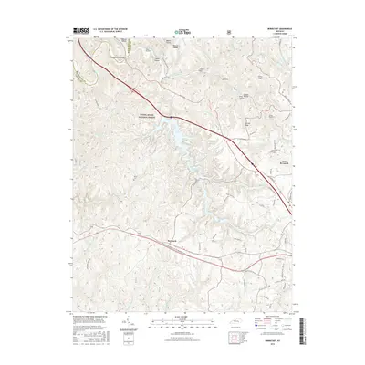
2016 Map of Bernstadt
USGS Topo · Published 2016About this map
The Daniel Boone National Forest dominates the western landscape of this Laurel County survey, where the Rockcastle River and its numerous tributaries like Wollum Br and Hawk Cr carve through the terrain. A legacy of rail engineering is evident along the eastern ridges, where a sequence of tunnels, including Tunnel Number 7 and Tunnel Number 9, facilitate passage through the uneven topography. This network connects the smaller settlements of Bernstadt and East Bernstadt with the historical corridor of US Hwy 25.
Find a feature on this map
82 named features on this map. Tap any name to fly to it.
Don’t see what you’re looking for? This feature index may not catch every label — zoom into the map to look around manually.
Map Details
Editions of this 2016 Bernstadt Map
This is the sole edition of this map. No revisions or reprints were ever made.
Other maps of this area

1893 · London
USGS Topo · 1:125,000

1897 · London
USGS Topo · 1:125,000

1952 · Lily
USGS Topo · 1:24,000

1952 · London SW
USGS Topo · 1:24,000

1952 · Billows
USGS Topo · 1:24,000

1952 · Ano
USGS Topo · 1:24,000

1952 · Bernstadt
USGS Topo · 1:24,000

1952 · London
USGS Topo · 1:24,000

1953 · Livingston
USGS Topo · 1:24,000

1953 · Mount Vernon
USGS Topo · 1:24,000