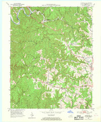
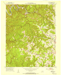
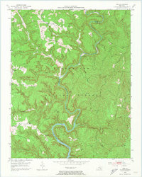
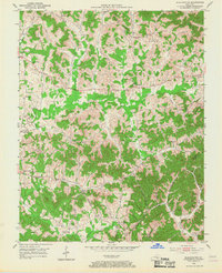
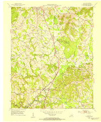
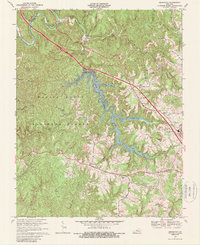
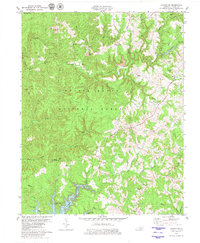
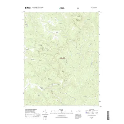
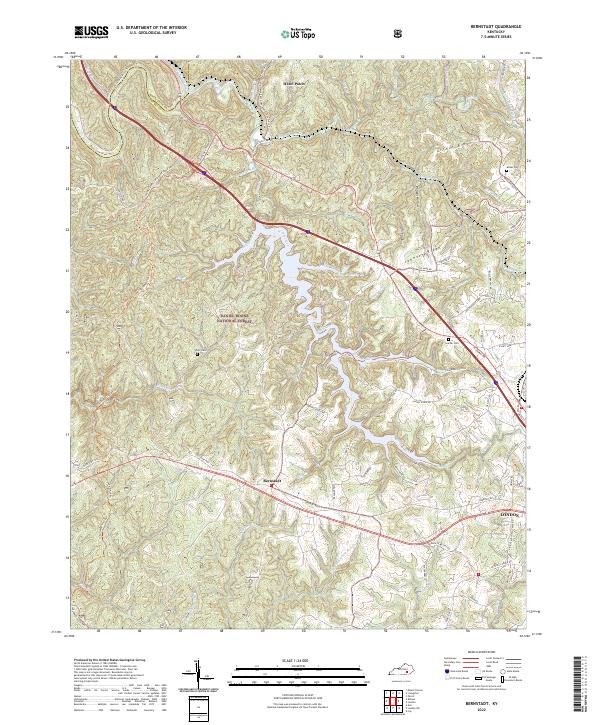
1952 Map of Bernstadt
USGS Topo · Published 1969About this map
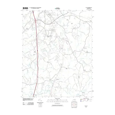
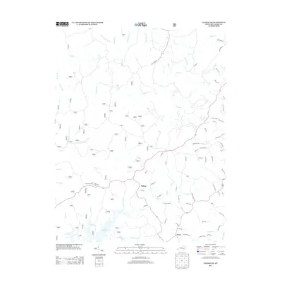
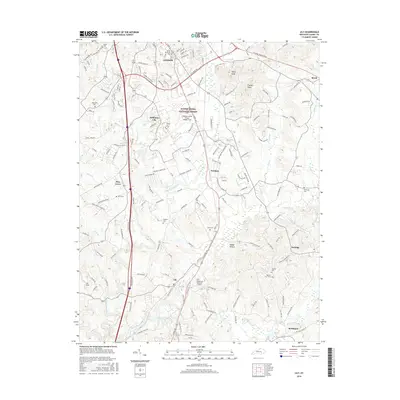
Bernstadt and the surrounding highlands of Laurel County reflect a landscape shaped by early pioneer routes and mid-century industrial transition. The historic Wilderness Road winds through the northwestern corner near the Rockcastle River, following a path long established before the arrival of the Louisville and Nashville railroad. The settlement of Hazel Patch serves as a key point where the rail line meets the river valley, while the interior is dotted with cultural landmarks like the Swiss Colony Sch and Helvetia, pointing to the area's specific immigrant heritage.
Find a feature on this map
60 named features on this map. Tap any name to fly to it.
Don’t see what you’re looking for? This feature index may not catch every label — zoom into the map to look around manually.
Map Details
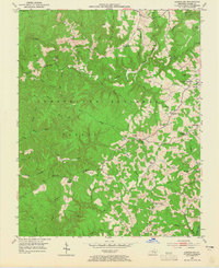
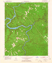
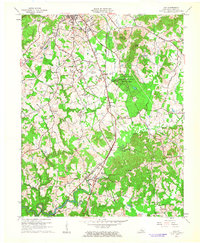
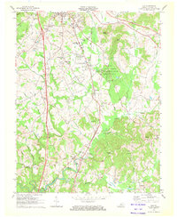
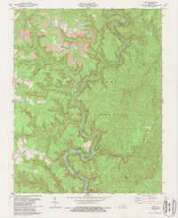
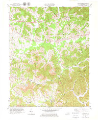
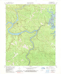
Editions of this 1952 Bernstadt Map
2 editions found
Historical Maps of London Through Time
43 maps found
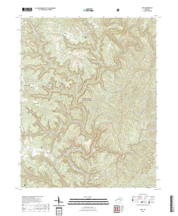
1952 Ano
Laurel County, KY
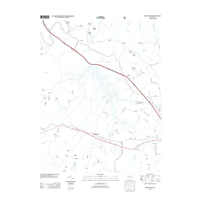
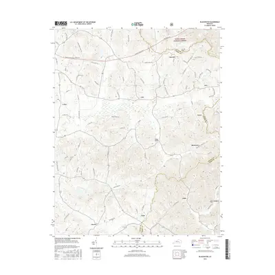
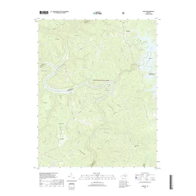
1952 Bernstadt
Laurel County, KY
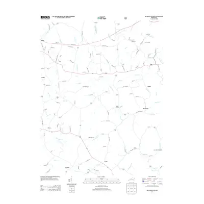
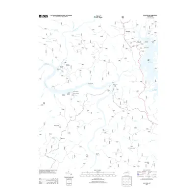
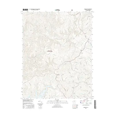
1952 Blackwater
Laurel County, KY
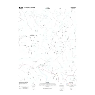
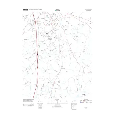
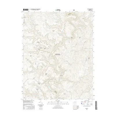
1952 Lily
Laurel County, KY
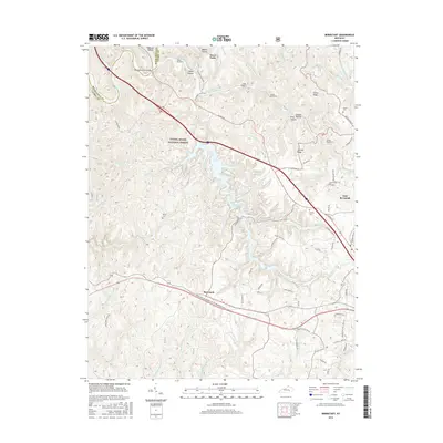
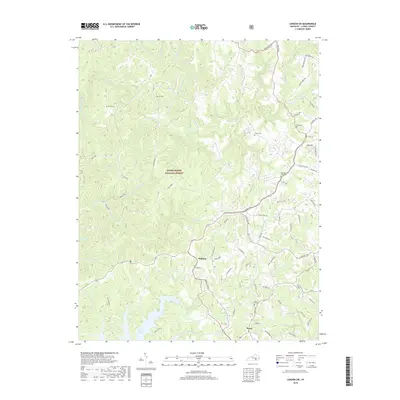
1952 London SW
Laurel County, KY
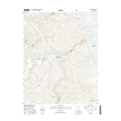
1952 Sawyer
Laurel County, KY
1961 Lily
Laurel County, KY
1969 Bernstadt
Laurel County, KY
1970 Lily
Laurel County, KY
1979 Ano
Laurel County, KY
1979 Blackwater
Laurel County, KY
1979 London SW
Laurel County, KY
1980 Sawyer
Laurel County, KY
2010 Ano
Laurel County, KY
2010 Bernstadt
Laurel County, KY
2010 Lily
Laurel County, KY
2010 London SW
Laurel County, KY
2010 Sawyer
Laurel County, KY
2011 Blackwater
Laurel County, KY
2013 Ano
Laurel County, KY
2013 Bernstadt
Laurel County, KY
2013 Blackwater
Laurel County, KY
2013 Lily
Laurel County, KY
2013 London SW
Laurel County, KY
2013 Sawyer
Laurel County, KY
2016 Ano
Laurel County, KY
2016 Bernstadt
Laurel County, KY
2016 Blackwater
Laurel County, KY
2016 Lily
Laurel County, KY
2016 London SW
Laurel County, KY
2016 Sawyer
Laurel County, KY
2019 Ano
Laurel County, KY
2019 Bernstadt
Laurel County, KY
2019 Blackwater
Laurel County, KY
2019 Lily
Laurel County, KY
2019 London SW
Laurel County, KY
2019 Sawyer
Laurel County, KY
2022 Ano
Laurel County, KY
2022 Bernstadt
Laurel County, KY
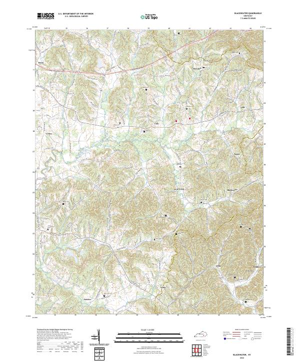
2022 Blackwater
Laurel County, KY
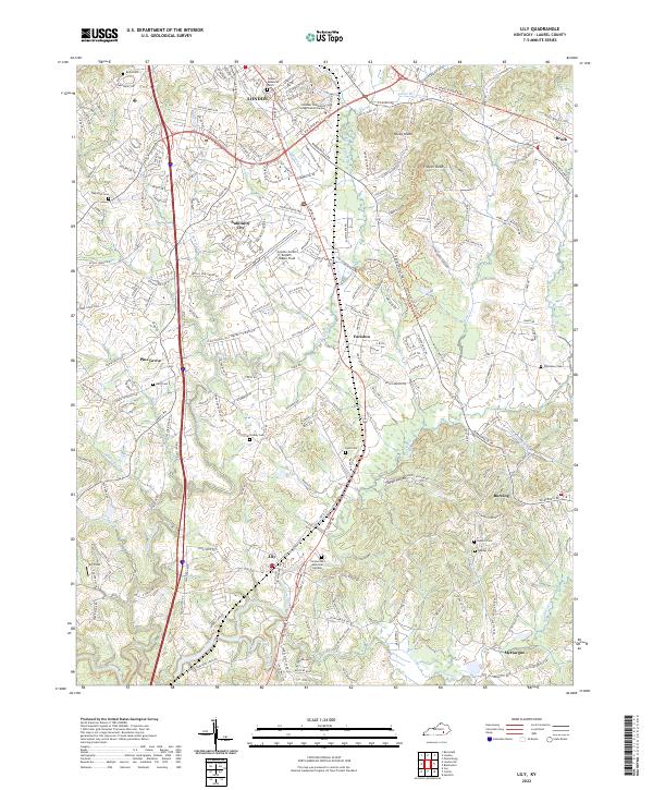
2022 Lily
Laurel County, KY
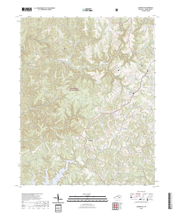
2022 London SW
Laurel County, KY
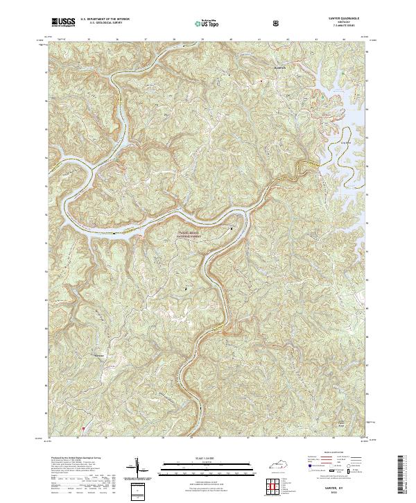
2022 Sawyer
Laurel County, KY