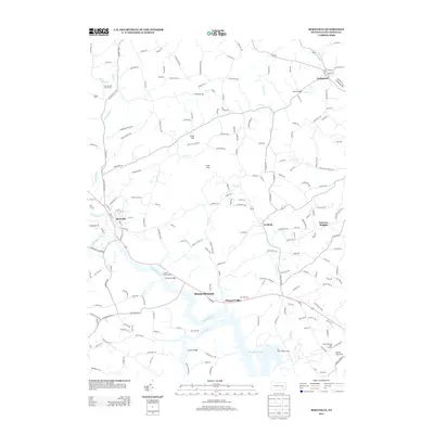
2013 Map of Bernville
USGS Topo · Published 2013About this map
Tulpehocken Cr winds through the heart of this Berks County landscape, defining the topography south of the borough of Bernville. By the early 21st century, this area maintained a distinct balance between its agricultural roots and modern recreational infrastructure. The presence of Blue Marsh Lake at the southern edge, supported by the Dry Brooks Boat Launch and Sheidy Boat Launch, reflects the transformation of local waterways into significant public resources.
Find a feature on this map
191 named features on this map. Tap any name to fly to it.
Don’t see what you’re looking for? This feature index may not catch every label — zoom into the map to look around manually.
Map Details
Editions of this 2013 Bernville Map
This is the sole edition of this map. No revisions or reprints were ever made.
Other maps of this area

1889 · Pottsville
USGS Topo · 1:62,500

1891 · Pottsville
USGS Topo · 1:62,500

1894 · Reading
USGS Topo · 1:62,500

1902 · Wernersville
USGS Topo · 1:62,500

1909 · Hamburg
USGS Topo · 1:62,500

1911 · Hamburg
USGS Topo · 1:62,500

1913 · Reading
USGS Topo · 1:62,500

1915 · Reading
USGS Topo · 1:62,500

1943 · Wernersville
USGS Topo · 1:62,500

1944 · Reading
USGS Topo · 1:62,500
Featured Places
- North Heidelberg Township, PA
- Bernville, PA
- Centerport, PA
- Pleasant Valley, Penn Township
- Upper Tulpehocken Township, PA