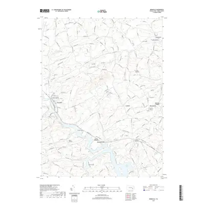
2019 Map of Bernville
USGS Topo · Published 2019About this map
The borough of Bernville and the surrounding Berks County countryside are defined by a network of creek valleys and significant rural cemeteries in this 2019 survey. The landscape transitions from the agricultural uplands of Scull Hill to the sprawling waters of Blue Marsh Lake in the southeast. This area is notable for its dense concentration of historic burial grounds and parish sites, including the Friedens Evangelical Lutheran Church Cem and Saint Thomas Cem, which reflect the region's deep-rooted German denominational heritage.
Find a feature on this map
174 named features on this map. Tap any name to fly to it.
Don’t see what you’re looking for? This feature index may not catch every label — zoom into the map to look around manually.
Map Details
Editions of this 2019 Bernville Map
This is the sole edition of this map. No revisions or reprints were ever made.
Other maps of this area

1889 · Pottsville
USGS Topo · 1:62,500

1891 · Pottsville
USGS Topo · 1:62,500

1894 · Reading
USGS Topo · 1:62,500

1902 · Wernersville
USGS Topo · 1:62,500

1909 · Hamburg
USGS Topo · 1:62,500

1911 · Hamburg
USGS Topo · 1:62,500

1913 · Reading
USGS Topo · 1:62,500

1915 · Reading
USGS Topo · 1:62,500

1943 · Wernersville
USGS Topo · 1:62,500

1944 · Reading
USGS Topo · 1:62,500
Featured Places
- North Heidelberg Township, PA
- Bernville, PA
- Centerport, PA
- Pleasant Valley, Penn Township
- Upper Tulpehocken Township, PA