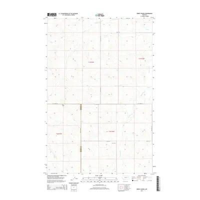
2014 Map of Berry School
USGS Topo · Published 2014About this map
The Redwater River winds through this high-plains landscape on the boundary of Prairie and McCone Counties, where section lines and gravel roads dictate the movement of the local ranching community. This area is defined by its wide drainage basins, including Lisk Creek and Trail Creek, which cut through the undulating terrain. A clear record of early-21st-century rural infrastructure is visible in the placement of the Berry School and the Watkins Cemetery, two focal points for the families living along Chalk Butte Road and Last Chance Road. The map provides a detailed view of the township and range system, showing how the land was divided and settled in this part of eastern Montana.
Find a feature on this map
17 named features on this map. Tap any name to fly to it.
Don’t see what you’re looking for? This feature index may not catch every label — zoom into the map to look around manually.
Map Details
Editions of this 2014 Berry School Map
This is the sole edition of this map. No revisions or reprints were ever made.
Other maps of this area

1954 · Jordan
USGS Topo · 1:250,000

1954 · Glendive
USGS Topo · 1:250,000

1956 · Jordan
USGS Topo · 1:250,000

1957 · Glendive
USGS Topo · 1:250,000

1958 · Jordan
USGS Topo · 1:250,000

1958 · Glendive
USGS Topo · 1:250,000

1964 · Jordan
USGS Topo · 1:250,000

1965 · Hedstrom Lake
USGS Topo · 1:24,000

1965 · Hedstrom Lake SE
USGS Topo · 1:24,000

1965 · Heitz School
USGS Topo · 1:24,000