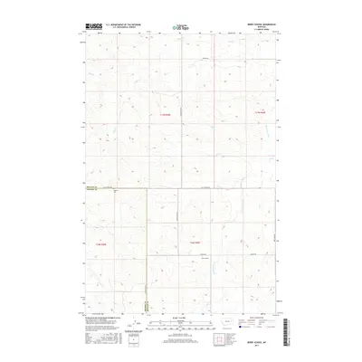
2017 Map of Berry School
USGS Topo · Published 2017About this map
The Redwater River winds through the sparse, open prairie of the McCone Co and Prairie Co boundary in eastern Montana. This 2017 survey shows a landscape defined by its remote drainage systems, where small tributaries like Skull Cr, Trail Cr, and Hay Cr carve paths through the undulating terrain toward the river. The area is characterized by vast sections of open land, with only occasional rural landmarks signaling the presence of local community centers from earlier decades.
Find a feature on this map
18 named features on this map. Tap any name to fly to it.
Don’t see what you’re looking for? This feature index may not catch every label — zoom into the map to look around manually.
Map Details
Editions of this 2017 Berry School Map
This is the sole edition of this map. No revisions or reprints were ever made.
Other maps of this area

1954 · Jordan
USGS Topo · 1:250,000

1954 · Glendive
USGS Topo · 1:250,000

1956 · Jordan
USGS Topo · 1:250,000

1957 · Glendive
USGS Topo · 1:250,000

1958 · Jordan
USGS Topo · 1:250,000

1958 · Glendive
USGS Topo · 1:250,000

1964 · Jordan
USGS Topo · 1:250,000

1965 · Hedstrom Lake
USGS Topo · 1:24,000

1965 · Hedstrom Lake SE
USGS Topo · 1:24,000

1965 · Heitz School
USGS Topo · 1:24,000