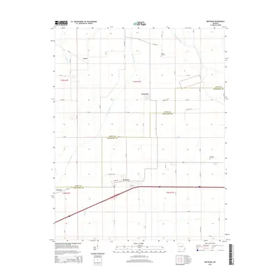
2015 Map of Bertrand
USGS Topo · Published 2015About this map
Bertrand sits at the heart of this agricultural landscape in Mississippi Co, Missouri, where the gridded fields of the Bootheel are defined by an extensive drainage network. This modern survey illustrates how the land has been engineered for farming, with significant water management features like North Cut Ditch, Muddy Ditch, and Brushy Lake Ditch cutting across the terrain. These man-made channels are essential to the region's productivity, reflecting a century-old legacy of transforming wetlands into fertile cropland.
Find a feature on this map
51 named features on this map. Tap any name to fly to it.
Don’t see what you’re looking for? This feature index may not catch every label — zoom into the map to look around manually.
Map Details
Editions of this 2015 Bertrand Map
This is the sole edition of this map. No revisions or reprints were ever made.
Other maps of this area

1931 · Sikeston
USGS Topo · 1:62,500

1934 · Thebes
USGS Topo · 1:62,500

1934 · Morley
USGS Topo · 1:62,500

1934 · Sikeston
USGS Topo · 1:62,500

1939 · Sikeston
USGS Topo · 1:62,500

1939 · Charleston
USGS Topo · 1:62,500

1939 · Morley
USGS Topo · 1:62,500

1939 · Thebes
USGS Topo · 1:62,500

1949 · Paducah
USGS Topo · 1:250,000

1950 · Paducah
USGS Topo · 1:250,000