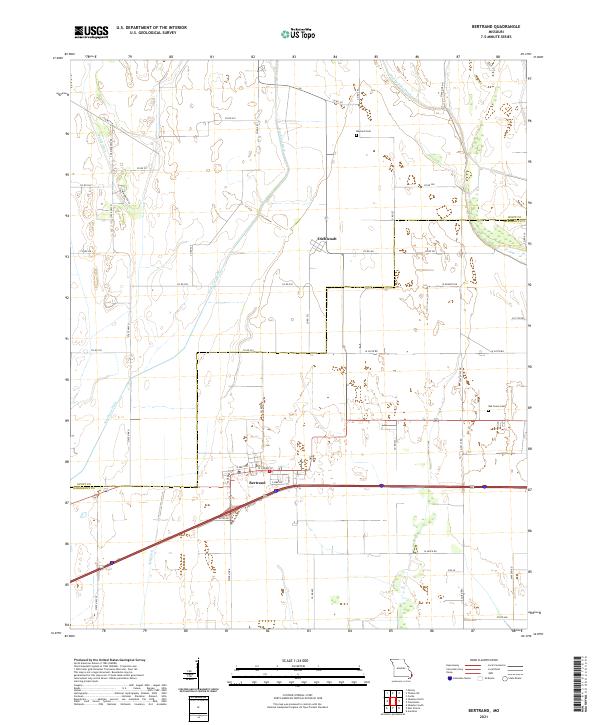
2021 Map of Bertrand
USGS Topo · Published 2021About this map
Bertrand and Diehlstadt anchor this modern survey of the low-lying agricultural plains along the Scott Co and Mississippi Co line. The landscape is defined by an extensive network of drainage infrastructure, including the prominent North Cut Ditch, Brushy Lake Ditch, Muddy Ditch, and Ash Ditch, which manage the water levels of this fertile bottomland. These engineered waterways dictate the layout of the local road system, which follows a rigid grid of county roads and state highways.
Find a feature on this map
50 named features on this map. Tap any name to fly to it.
Don’t see what you’re looking for? This feature index may not catch every label — zoom into the map to look around manually.
Map Details
Editions of this 2021 Bertrand Map
This is the sole edition of this map. No revisions or reprints were ever made.
Other maps of this area

1931 · Sikeston
USGS Topo · 1:62,500

1934 · Thebes
USGS Topo · 1:62,500

1934 · Morley
USGS Topo · 1:62,500

1934 · Sikeston
USGS Topo · 1:62,500

1939 · Sikeston
USGS Topo · 1:62,500

1939 · Charleston
USGS Topo · 1:62,500

1939 · Morley
USGS Topo · 1:62,500

1939 · Thebes
USGS Topo · 1:62,500

1949 · Paducah
USGS Topo · 1:250,000

1950 · Paducah
USGS Topo · 1:250,000