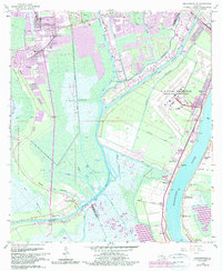
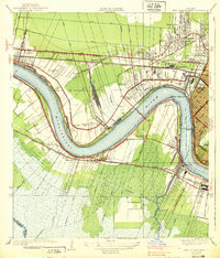
1966 Map of Bertrandville
USGS Topo · Published 1989About this map
U S Naval Air Station (Alvin Callender Field) anchors the eastern bank of the Mississippi River in this survey of the delta landscape south of New Orleans. The map captures a complex network of waterways, including the Intracoastal Waterway Barataria Bayou and the Hero Cutoff, illustrating how the region's transport and industry evolved through the mid-20th century. To the west, the preservation of Jean Lafitte National Historical Park and Reserve provides a stark contrast to the developed corridors of Crown Point and Bertrandville. Small riverfront settlements like Promised Land and Linwood sit near the levees, while inland schoolhouses such as Rosethorn Sch and Miller Wall Sch suggest the distribution of the local population during this era of post-war growth and industrial expansion.
Find a feature on this map
51 named features on this map. Tap any name to fly to it.
Don’t see what you’re looking for? This feature index may not catch every label — zoom into the map to look around manually.
Map Details
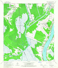
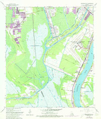
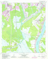
Editions of this 1966 Bertrandville Map
4 editions found
Other maps of this area

1891 · Pointe a La Hache
USGS Topo · 1:62,500

1891 · New Orleans
USGS Topo · 1:62,500

1892 · Barataria
USGS Topo · 1:62,500

1892 · St. Bernard
USGS Topo · 1:62,500

1892 · Pointe a La Hache
USGS Topo · 1:62,500

1932 · New Orleans NE
USGS Topo · 1:31,680

1932 · New Orleans NW
USGS Topo · 1:31,680

1932 · New Orleans SE
USGS Topo · 1:31,680

1932 · New Orleans SW
USGS Topo · 1:31,680
1938 · New Orleans West
USGS Topo · 1:31,680