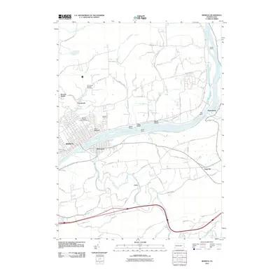
2010 Map of Berwick
USGS Topo · Published 2010About this map
The Susquehanna River carves a wide path through this portion of Columbia County, serving as the central axis for the riverfront communities of Berwick, Nescopeck, and East Berwick. The town of Berwick shows a dense grid of streets along Canal St, while the surrounding landscape is marked by the industrial and aviation footprint of the Berwick Hospital Corporation Airport and the smaller Berwick Airport.
Find a feature on this map
78 named features on this map. Tap any name to fly to it.
Don’t see what you’re looking for? This feature index may not catch every label — zoom into the map to look around manually.
Map Details
Editions of this 2010 Berwick Map
This is the sole edition of this map. No revisions or reprints were ever made.
Other maps of this area

1889 · Catawissa
USGS Topo · 1:62,500

1892 · Catawissa
USGS Topo · 1:62,500

1892 · Mahanoy
USGS Topo · 1:62,500

1893 · Mahanoy
USGS Topo · 1:62,500

1894 · Catawissa
USGS Topo · 1:62,500

1894 · Shickshinny
USGS Topo · 1:62,500

1894 · Bloomsburg
USGS Topo · 1:62,500

1946 · Sybertsville
USGS Topo · 1:31,680

1946 · Nanticoke
USGS Topo · 1:31,680

1946 · Shickshinny
USGS Topo · 1:31,680
Featured Places
- Berwick, PA
- Nescopeck, PA
- Conyngham Township, PA
- Nescopeck Township, PA
- Berwick Heights, Briar Creek Township