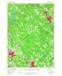
1958 Map of Berwick
USGS Topo · Published 1968About this map
The industrial and agricultural corridor along the Maine-New Hampshire border is defined by the winding course of the Salmon Falls River. The manufacturing centers of Rochester, Somersworth, and Sanford anchor this landscape, connected by the vital routes of the Boston and Maine Railroad. While the larger towns show concentrated urban growth, the interior of the Lebanon and Berwick townships remains largely rural, dotted with family-named landmarks like Blaisdell Corners and Laskey Corner.
Find a feature on this map
158 named features on this map. Tap any name to fly to it.
Don’t see what you’re looking for? This feature index may not catch every label — zoom into the map to look around manually.
Map Details
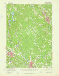
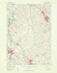
Editions of this 1958 Berwick Map
3 editions found
Other maps of this area

1891 · Berwick
USGS Topo · 1:62,500

1891 · Kennebunk
USGS Topo · 1:62,500

1891 · Buxton
USGS Topo · 1:62,500

1891 · Newfield
USGS Topo · 1:62,500

1892 · Buxton
USGS Topo · 1:62,500

1893 · Kennebunk
USGS Topo · 1:62,500

1893 · Dover
USGS Topo · 1:62,500

1893 · Berwick
USGS Topo · 1:62,500

1893 · York
USGS Topo · 1:62,500

1893 · Buxton
USGS Topo · 1:62,500