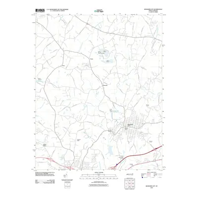
2010 Map of Bessemer City
USGS Topo · Published 2010About this map
Bessemer City serves as the focal point of this Gaston County landscape, showing the town's street grid and the Bessemer City Post Office as they appeared in 2010. The surrounding area is characterized by a network of smaller communities such as Tryon, Sunnyside, and Vantine, linked by a dense web of rural routes like Saint Marks Church Rd and Weaver Dairy Rd. The terrain is shaped by numerous water bodies and infrastructure, including the Bessemer City Reservoir and various family-named features like Sellers Lake.
Find a feature on this map
79 named features on this map. Tap any name to fly to it.
Don’t see what you’re looking for? This feature index may not catch every label — zoom into the map to look around manually.
Map Details
Editions of this 2010 Bessemer City Map
This is the sole edition of this map. No revisions or reprints were ever made.
Other maps of this area

1906 · Kings Mountain
USGS Topo · 1:62,500

1908 · Kings Mountain
USGS Topo · 1:62,500

1909 · Lincolnton
USGS Topo · 1:62,500

1911 · Lincolnton
USGS Topo · 1:62,500

1914 · Gastonia
USGS Topo · 1:48,000

1916 · Gastonia
USGS Topo · 1:62,500

1947 · Clover
USGS Topo · 1:62,500

1949 · Clover
USGS Topo · 1:62,500

1953 · Charlotte
USGS Topo · 1:250,000

1954 · Charlotte
USGS Topo · 1:250,000