
1905 Map of Bessemer Iron District
USGS Topo · Published 1905About this map
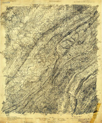
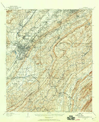
Industrial expansion in the Jones Valley defines this 1905 survey, where the burgeoning steel and iron infrastructure of Bessemer and southwest Birmingham is laid bare. The map reveals an intricate web of competing rail lines, including the Louisville and Nashville RR and the Alabama Great Southern RR, which serviced numerous small company towns and mining outposts such as Dolomite, Hillman, and Redding. These settlements are tightly packed between the iron-rich ridges of West Red Mountain and Sand Mountain.
Find a feature on this map
151 named features on this map. Tap any name to fly to it.
Don’t see what you’re looking for? This feature index may not catch every label — zoom into the map to look around manually.
Map Details
Editions of this 1905 Bessemer Iron District Map
3 editions found
Other maps of this area

1889 · Birmingham
USGS Topo · 1:125,000

1890 · Bessemer
USGS Topo · 1:125,000

1892 · Birmingham
USGS Topo · 1:125,000

1892 · Bessemer
USGS Topo · 1:125,000

1893 · Jasper
USGS Topo · 1:125,000

1895 · Birmingham
USGS Topo · 1:125,000

1899 · Brookwood
USGS Topo · 1:125,000

1904 · Birmingham Coal District
USGS Topo · 1:62,500

1905 · Leeds
USGS Topo · 1:62,500

1906 · Birmingham Special
USGS Topo · 1:62,500