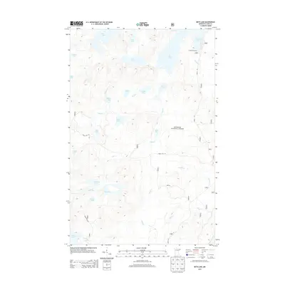
2013 Map of Beth Lake
USGS Topo · Published 2013About this map
The Superior National Forest wilderness dominates this landscape, characterized by a dense network of glacial lakes and portage-connected waterways within Schroeder Township. Significant water bodies like Alton Lake, Beth Lake, and the expansive Sawbill Lake define the terrain, reflecting the area's role as a gateway for backcountry navigation. The primary point of human congregating is the Sawbill Campground, located at the terminus of the Sawbill Trl, which serves as a vital entry point for Northwoods exploration.
Find a feature on this map
34 named features on this map. Tap any name to fly to it.
Don’t see what you’re looking for? This feature index may not catch every label — zoom into the map to look around manually.
Map Details
Editions of this 2013 Beth Lake Map
This is the sole edition of this map. No revisions or reprints were ever made.
Other maps of this area

1954 · Two Harbors
USGS Topo · 1:250,000

1955 · Tofte
USGS Topo · 1:62,500

1955 · Cramer
USGS Topo · 1:62,500

1957 · Two Harbors
USGS Topo · 1:250,000

1958 · Two Harbors
USGS Topo · 1:250,000

1960 · Lake Polly
USGS Topo · 1:24,000

1960 · Kawishiwi Lake
USGS Topo · 1:24,000

1960 · Sawbill Camp
USGS Topo · 1:24,000

1960 · Beth Lake
USGS Topo · 1:24,000
1960 · Cherokee Lake
USGS Topo · 1:24,000