
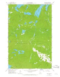
1960 Map of Beth Lake
USGS Topo · Published 1962About this map
The boundary between Superior National Forest and Minnesota State Forest divides this 1960 landscape, defined by a dense network of glacial lakes and portage-connected waterways. The northern half is dominated by large bodies like Alton Lake and Sawbill Lake, where the Sawbill Campground serves as a primary access point at the terminus of Sawbill Road. This survey, field-checked by the USGS just before the official designation of the nearby wilderness area, captures the region's transition from managed timberland to recreational backcountry. Smaller, descriptive landmarks such as Big Snow Lake, Retreat Lake, and Poet Lake are scattered among the ridges, while the Temperance River begins its course in the southeast corner. The intricate hydrology is further marked by Hog Creek and Plouff Creek, which weave through the complex terrain of Cook County.
Find a feature on this map
32 named features on this map. Tap any name to fly to it.
Don’t see what you’re looking for? This feature index may not catch every label — zoom into the map to look around manually.
Map Details
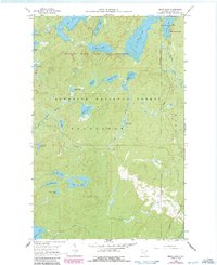
Editions of this 1960 Beth Lake Map
3 editions found
Other maps of this area

1954 · Two Harbors
USGS Topo · 1:250,000

1955 · Tofte
USGS Topo · 1:62,500

1955 · Cramer
USGS Topo · 1:62,500

1957 · Two Harbors
USGS Topo · 1:250,000

1958 · Two Harbors
USGS Topo · 1:250,000

1960 · Lake Polly
USGS Topo · 1:24,000

1960 · Kawishiwi Lake
USGS Topo · 1:24,000

1960 · Sawbill Camp
USGS Topo · 1:24,000
1960 · Cherokee Lake
USGS Topo · 1:24,000
1960 · Kelso Mountain
USGS Topo · 1:24,000