
1960 Map of Sawbill Camp
USGS Topo · Published 1962About this map
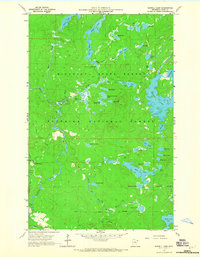
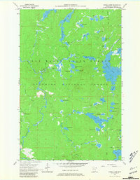
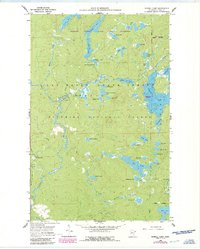
Sawbill Camp and its surrounding glacial lake country are defined here by a dense network of water bodies and remnant industrial infrastructure within the Superior National Forest. While the northern section is dominated by interconnected basins like Kelly Lake, Peterson Lake, and the expansive Crescent Lake, the southern reaches reveal the area's history of resource extraction. The presence of an Old Railroad Grade and Old Grade Railroad running through the bottom of the map points to former timber operations that once moved logs through this interior. Localized industrial activity is further evidenced by a Sandpit near Baker Lake and a Gravel Pit near the camp itself. Outdoor recreation is established by the Baker Lake Campground and the primary access route of Sawbill Road, showing the transition of this forest toward the managed wilderness character it maintains today.
Find a feature on this map
56 named features on this map. Tap any name to fly to it.
Don’t see what you’re looking for? This feature index may not catch every label — zoom into the map to look around manually.
Map Details
Editions of this 1960 Sawbill Camp Map
4 editions found
Other maps of this area

1919 · Brule Lake
USGS Topo · 1:62,500

1919 · Lutsen
USGS Topo · 1:62,500

1954 · Two Harbors
USGS Topo · 1:250,000

1955 · Tofte
USGS Topo · 1:62,500

1957 · Two Harbors
USGS Topo · 1:250,000

1958 · Two Harbors
USGS Topo · 1:250,000

1959 · Lutsen
USGS Topo · 1:24,000

1960 · Tait Lake
USGS Topo · 1:24,000

1960 · Brule Lake
USGS Topo · 1:24,000

1960 · Beth Lake
USGS Topo · 1:24,000