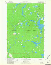
1960 Map of Sawbill Camp
USGS Topo · Published 1981About this map
Superior National Forest encompasses this wilderness region of Cook County, surveyed here during the late 1950s. The landscape is defined by an intricate network of interconnected waterways, where larger bodies like Crescent Lake and Rice Lake are surrounded by smaller, uniquely named ponds such as Manymoon Lake, Gossip Lake, and Dogtrot Lake. Transportation through this dense woodland is limited to a few key corridors, notably Sawbill Road and the Old Grade Railroad, which reflect the area's history of timber management and remote access.
Find a feature on this map
49 named features on this map. Tap any name to fly to it.
Don’t see what you’re looking for? This feature index may not catch every label — zoom into the map to look around manually.
Map Details
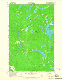
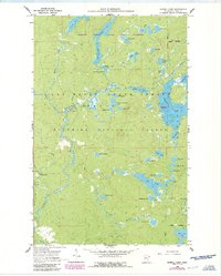
Editions of this 1960 Sawbill Camp Map
4 editions found
Other maps of this area

1919 · Brule Lake
USGS Topo · 1:62,500

1919 · Lutsen
USGS Topo · 1:62,500

1954 · Two Harbors
USGS Topo · 1:250,000

1955 · Tofte
USGS Topo · 1:62,500

1957 · Two Harbors
USGS Topo · 1:250,000

1958 · Two Harbors
USGS Topo · 1:250,000

1959 · Lutsen
USGS Topo · 1:24,000

1960 · Tait Lake
USGS Topo · 1:24,000

1960 · Sawbill Camp
USGS Topo · 1:24,000

1960 · Brule Lake
USGS Topo · 1:24,000