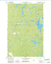
1960 Map of Sawbill Camp
USGS Topo · Published 1986About this map
Superior National Forest and the Boundary Waters Canoe Area Wilderness dominate this northern landscape, which transitions from recreational campgrounds to remote water networks. The map documents the persistent traces of 20th-century industry through the Old Grade Railroad and Old Railroad Grade that cut across the timbered terrain, reflecting the era's reliance on rail for resource extraction. Centered around Sawbill Camp, the area is defined by its intricate hydrology, including large water bodies like Burnt Lake, Crescent Lake, and Rice Lake. Cultural features such as the Baker Lake Campground and various gravel pits along Sawbill Road illustrate how early forest management and infrastructure development shaped the accessibility of the Cook County interior before it was further designated for wilderness preservation.
Find a feature on this map
59 named features on this map. Tap any name to fly to it.
Don’t see what you’re looking for? This feature index may not catch every label — zoom into the map to look around manually.
Map Details
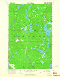
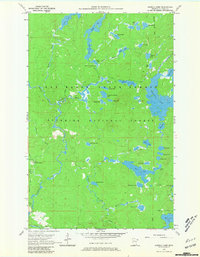
Editions of this 1960 Sawbill Camp Map
4 editions found
Other maps of this area

1919 · Brule Lake
USGS Topo · 1:62,500

1919 · Lutsen
USGS Topo · 1:62,500

1954 · Two Harbors
USGS Topo · 1:250,000

1955 · Tofte
USGS Topo · 1:62,500

1957 · Two Harbors
USGS Topo · 1:250,000

1958 · Two Harbors
USGS Topo · 1:250,000

1959 · Lutsen
USGS Topo · 1:24,000

1960 · Tait Lake
USGS Topo · 1:24,000

1960 · Sawbill Camp
USGS Topo · 1:24,000

1960 · Brule Lake
USGS Topo · 1:24,000