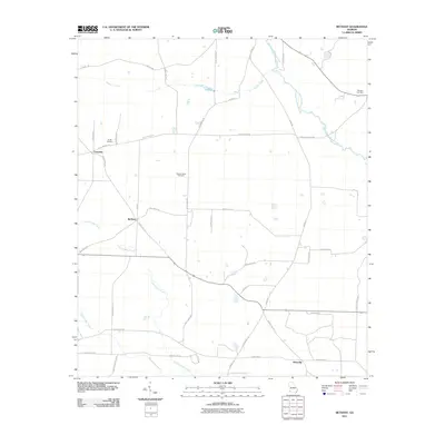
2011 Map of Bethany
USGS Topo · Published 2011About this map
Mimsville and the crossroads of Bethany anchor this agricultural region of southwest Georgia at the start of the 21st century. The landscape is defined by a dense network of county roads and drainage systems, including the meandering Ichawaynochaway Creek and Alligator Creek in the north, while Big Cypress Creek and Little Cypress Creek dominate the southern reaches. These waterways slice through a mosaic of farm plots and timber stands, typical of the coastal plain's river-fed geography. Genealogists will find several family-named burial sites across the quadrangle, such as the Smith Cemetery near Crestview and the Stephen Bush Cemetery centrally located off Julia Jones Rd. The map provides a detailed view of the rural infrastructure, from the County Hwy-123 corridor to the numerous small roads like Gary Hudson Rd and Will White Rd that connect the isolated homesteads and farms of Baker County.
Find a feature on this map
40 named features on this map. Tap any name to fly to it.
Don’t see what you’re looking for? This feature index may not catch every label — zoom into the map to look around manually.
Map Details
Editions of this 2011 Bethany Map
This is the sole edition of this map. No revisions or reprints were ever made.
Other maps of this area

1953 · Dothan
USGS Topo · 1:250,000

1954 · Dothan
USGS Topo · 1:250,000

1955 · Dothan
USGS Topo · 1:250,000

1956 · Newton
USGS Topo · 1:62,500

1971 · Hopeful
USGS Topo · 1:24,000

1974 · Damascus
USGS Topo · 1:24,000

1974 · Arlington
USGS Topo · 1:24,000

1974 · Cooktown
USGS Topo · 1:24,000

1974 · Elmodel
USGS Topo · 1:24,000
1974 · Colquitt
USGS Topo · 1:24,000