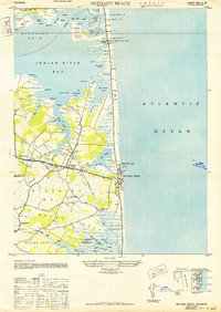
1943 Map of Bethany Beach
USGS Topo · Published 1949About this map
Indian River Bay and the Atlantic coastline of Delaware appear here during a transformative era of military and civilian development. The landscape is defined by the narrow barrier beach where the Bethany Beach CG Sta Radio Direction Finder and a U S Army Camp stand near the Auditorium. In the marshy interior, the connected settlements of Millville, Ocean View, and Bethany Beach are linked by the Frankford Rd corridor. Notable landmarks of local importance include the Lord Baltimore H S and Mt Zion Church. The map details the complex shoreline of Cedar Neck and White Neck, showing a network of small creeks like Stony Run and Spring Gut that characterize the coastal hydrology before widespread modern residential development. This period highlights the strategic importance of the Indian River Inlet, guarded by the Tower Indian River CG Sta and the CW Cullen Bridge.
Find a feature on this map
66 named features on this map. Tap any name to fly to it.
Don’t see what you’re looking for? This feature index may not catch every label — zoom into the map to look around manually.
Map Details
Editions of this 1943 Bethany Beach Map
This is the sole edition of this map. No revisions or reprints were ever made.
Other maps of this area

1901 · Ocean City
USGS Topo · 1:62,500

1918 · Rehoboth
USGS Topo · 1:62,500

1938 · Rehoboth
USGS Topo · 1:62,500

1942 · Ocean City
USGS Topo · 1:62,500

1943 · Selbyville
USGS Topo · 1:31,680
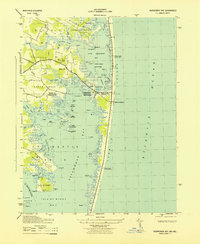
1943 · Assawoman Bay
USGS Topo · 1:31,680

1943 · Fairmount
USGS Topo · 1:24,000
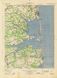
1944 · Rehoboth
USGS Topo · 1:62,500

1946 · Salisbury
USGS Topo · 1:250,000
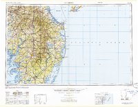
1947 · Salisbury
USGS Topo · 1:250,000