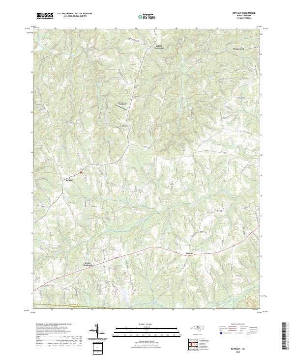
2022 Map of Bethany
USGS Topo · Published 2022About this map
Wentworth and the surrounding Rockingham County countryside are defined by a network of creeks feeding the Haw River, which flows along the southern boundary of this region. The landscape is characterized by historic crossroads settlements such as Bakers Crossroads, Bethany, and Wittys Crossroads, reflecting a decentralized agricultural and residential pattern. Aviation history is represented by the Mountain View Aerodrome, situated north of Wittys Crossroads near the center of the sheet.
Find a feature on this map
105 named features on this map. Tap any name to fly to it.
Don’t see what you’re looking for? This feature index may not catch every label — zoom into the map to look around manually.
Map Details
Editions of this 2022 Bethany Map
This is the sole edition of this map. No revisions or reprints were ever made.
Other maps of this area

1951 · Lake Brandt
USGS Topo · 1:24,000

1951 · Browns Summit
USGS Topo · 1:24,000

1953 · Greensboro
USGS Topo · 1:250,000

1954 · Greensboro
USGS Topo · 1:250,000

1962 · Greensboro
USGS Topo · 1:250,000

1966 · Greensboro
USGS Topo · 1:250,000

1969 · Summerfield
USGS Topo · 1:24,000
1971 · Mayodan
USGS Topo · 1:24,000
1971 · Southeast Eden
USGS Topo · 1:24,000
1971 · Ellisboro
USGS Topo · 1:24,000