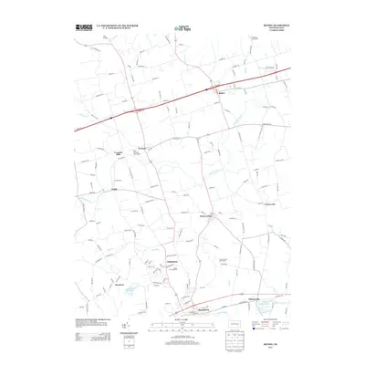
2013 Map of Bethel
USGS Topo · Published 2013About this map
Union Canal traces a historical path along the southern edge of this Berks County landscape, running parallel to the Tulpehocken Cr near Millardsville. This corridor reflects the deep agricultural and industrial roots of the region, where water power and early transit routes shaped the development of clustered settlements like Myerstown and Kutztown. The terrain is defined by the drainage of the Little Swatara Cr and its tributaries, which wind through a patchwork of rural holdings and small crossroads communities.
Find a feature on this map
153 named features on this map. Tap any name to fly to it.
Don’t see what you’re looking for? This feature index may not catch every label — zoom into the map to look around manually.
Map Details
Editions of this 2013 Bethel Map
This is the sole edition of this map. No revisions or reprints were ever made.
Other maps of this area

1889 · Pottsville
USGS Topo · 1:62,500

1891 · Pottsville
USGS Topo · 1:62,500

1891 · Lebanon
USGS Topo · 1:62,500

1892 · Pine Grove
USGS Topo · 1:62,500

1893 · Lebanon
USGS Topo · 1:62,500

1899 · Lebanon
USGS Topo · 1:62,500

1902 · Wernersville
USGS Topo · 1:62,500
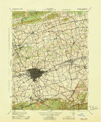
1943 · Lebanon
USGS Topo · 1:62,500
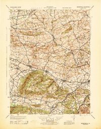
1943 · Wernersville
USGS Topo · 1:62,500
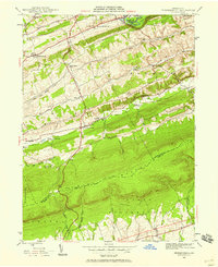
1945 · Friedensburg
USGS Topo · 1:24,000
Featured Places
- Bethel Township, PA
- Myerstown, PA
- Tulpehocken Township, PA
- Greble, Bethel Township
- Crosskill Mills, Bethel Township