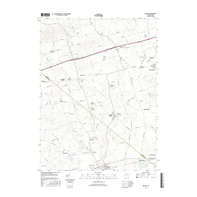
2016 Map of Bethel
USGS Topo · Published 2016About this map
Little Swatara Creek and its many tributaries define this section of the Lebanon Valley, where small crossroad communities like Frystown and Rehrersburg have maintained their agrarian character for generations. The landscape is densely packed with religious history, as seen in the numerous Mennonite and Brethren congregations such as Little Mountain Mennonite Church and the Zeiglers / Ziegler's Church of the Brethren. In the south, the historical legacy of Pennsylvania's early transportation network is visible along the Union Canal near Millardsville, while modern aviation is represented by Grimes Airport and the Krill Personal Use Airport. The transition from the rural northern townships toward the industrial and residential hubs of Myerstown and Stouchsburg reveals a complex settlement pattern where family cemeteries like the Ziegler Family Cem sit just miles from the expanding reservoirs and infrastructure of the 21st century.
Find a feature on this map
144 named features on this map. Tap any name to fly to it.
Don’t see what you’re looking for? This feature index may not catch every label — zoom into the map to look around manually.
Map Details
Editions of this 2016 Bethel Map
This is the sole edition of this map. No revisions or reprints were ever made.
Other maps of this area

1889 · Pottsville
USGS Topo · 1:62,500

1891 · Pottsville
USGS Topo · 1:62,500

1891 · Lebanon
USGS Topo · 1:62,500

1892 · Pine Grove
USGS Topo · 1:62,500

1893 · Lebanon
USGS Topo · 1:62,500

1899 · Lebanon
USGS Topo · 1:62,500

1902 · Wernersville
USGS Topo · 1:62,500

1943 · Lebanon
USGS Topo · 1:62,500

1943 · Wernersville
USGS Topo · 1:62,500

1945 · Friedensburg
USGS Topo · 1:24,000
Featured Places
- Bethel Township, PA
- Myerstown, PA
- Tulpehocken Township, PA
- Greble, Bethel Township
- Crosskill Mills, Bethel Township