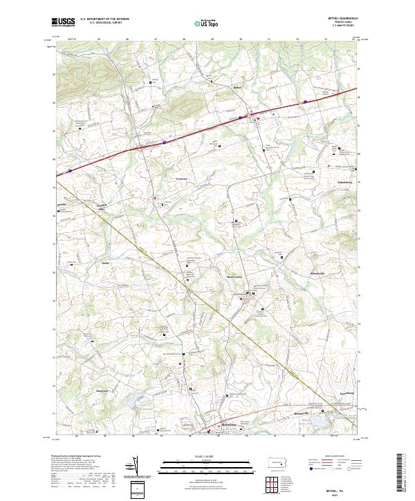
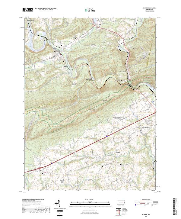
2023 Map of Bethel
USGS Topo · Published 2023About this map
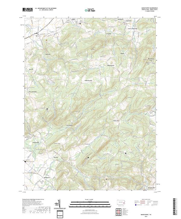
Little Swatara Creek winds through a landscape defined by its German sectarian heritage and agricultural roots along the border of Berks and Lebanon Counties. This contemporary survey reveals a densely patterned interior of family farmsteads and small crossroads settlements such as Frystown, Greble, and Wintersville. The region's religious diversity is preserved in its many small burial grounds, ranging from the Northside Old Order Amish Cem to the Altalaha Lutheran Church Cem and Swatara Mennonite Church Cem.
Find a feature on this map
135 named features on this map. Tap any name to fly to it.
Don’t see what you’re looking for? This feature index may not catch every label — zoom into the map to look around manually.
Map Details
Editions of this 2023 Bethel Map
This is the sole edition of this map. No revisions or reprints were ever made.
Historical Maps of Myerstown Through Time
11 maps found

1943 Manatawny
Berks County, PA
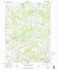
1945 Auburn
Berks County, PA
1946 Auburn
Berks County, PA
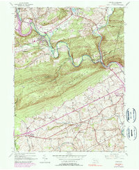
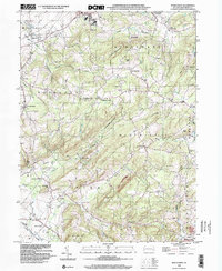
1955 Bethel
Berks County, PA
1957 Manatawny
Berks County, PA
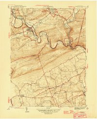
1992 Bethel
Berks County, PA

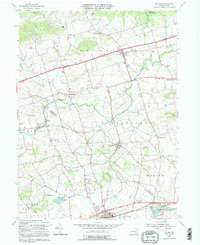
1999 Auburn
Berks County, PA
1999 Manatawny
Berks County, PA
2023 Auburn
Berks County, PA
2023 Bethel
Berks County, PA
2023 Manatawny
Berks County, PA