
1980 Map of Bethel
USGS Topo · Published 1980About this map
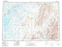
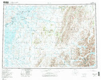
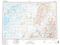
The Kuskokwim River serves as the primary lifeblood of this Western Alaska region, anchoring a series of riverine settlements including Bethel, Kwethluk, and Akiachak. This 1980 survey captures the transition from the wet lowlands of the river delta to the rising peaks of the Kilbuck Mountains and Kuskokwim Mountains. In the eastern reaches of the map, the landscape shifts toward the high alpine lakes and protected wilderness within Wood-Tikchik State Park, where Chikuminuk Lake and Upnuk Lake are situated.
Find a feature on this map
53 named features on this map. Tap any name to fly to it.
Don’t see what you’re looking for? This feature index may not catch every label — zoom into the map to look around manually.
Map Details
Editions of this 1980 Bethel Map
4 editions found
Other maps of this area

1947 · Russian Mission
USGS Topo · 1:250,000

1950 · Russian Mission
USGS Topo · 1:250,000

1950 · Sleetmute
USGS Topo · 1:250,000

1950 · Bethel
USGS Topo · 1:250,000

1950 · Taylor Mountains
USGS Topo · 1:250,000

1951 · Marshall
USGS Topo · 1:250,000

1951 · Taylor Mountains
USGS Topo · 1:250,000

1951 · Kuskokwim Bay
USGS Topo · 1:250,000

1951 · Dillingham
USGS Topo · 1:250,000

1951 · Goodnews
USGS Topo · 1:250,000