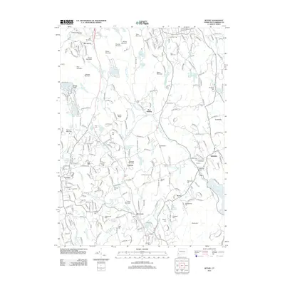
2012 Map of Bethel
USGS Topo · Published 2012About this map
The Saugatuck River and Norwalk River valleys define the geography of this Fairfield County landscape, where the ridges of Moses Mountain and Thomas Mountain rise above long-established villages. This 2012 survey documents the modern layout of Redding, West Redding, and Branchville, while preserving the locations of numerous historic burial grounds including the First Congregational Church Cem and Old Congregational Church Cem.
Find a feature on this map
289 named features on this map. Tap any name to fly to it.
Don’t see what you’re looking for? This feature index may not catch every label — zoom into the map to look around manually.
Map Details
Editions of this 2012 Bethel Map
This is the sole edition of this map. No revisions or reprints were ever made.
Other maps of this area

1892 · Stamford
USGS Topo · 1:62,500

1892 · Danbury
USGS Topo · 1:62,500

1892 · Norwalk
USGS Topo · 1:62,500

1892 · Carmel
USGS Topo · 1:62,500

1893 · Carmel
USGS Topo · 1:62,500

1893 · Stamford
USGS Topo · 1:62,500

1893 · Norwalk
USGS Topo · 1:62,500

1894 · Carmel
USGS Topo · 1:62,500

1899 · Stamford
USGS Topo · 1:62,500

1915 · Danbury
USGS Topo · 1:62,500