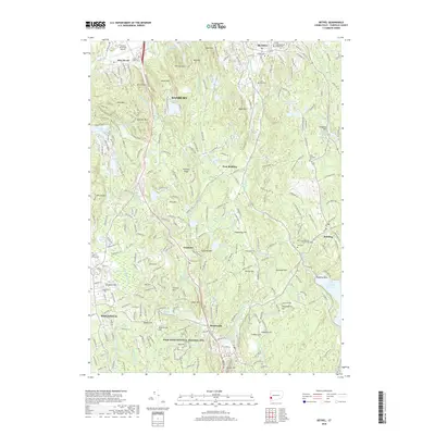
2018 Map of Bethel
USGS Topo · Published 2018About this map
Weir Farm National Historic Site sits along the southern border of this Fairfield County landscape, preserving the legacy of American Impressionism within a terrain defined by steep ridges and glacial ponds. The area around Bethel and Danbury is marked by significant elevations like Moses Mtn and Thomas Mtn, while the southern reaches descend toward the Saugatuck Reservoir. Transport and recreation are central to the region's character, evidenced by the Danbury Municipal Airport and an extensive trail network including the Ives Trail and Blue Trail. Small historic hamlets like Topstone, West Redding, and Branchville are connected by winding roads and the Danbury Rd rail line, reflecting the area's transition from early industrial and agricultural roots to a modern residential and preserved open-space corridor.
Find a feature on this map
111 named features on this map. Tap any name to fly to it.
Don’t see what you’re looking for? This feature index may not catch every label — zoom into the map to look around manually.
Map Details
Editions of this 2018 Bethel Map
This is the sole edition of this map. No revisions or reprints were ever made.
Other maps of this area

1892 · Stamford
USGS Topo · 1:62,500

1892 · Danbury
USGS Topo · 1:62,500

1892 · Norwalk
USGS Topo · 1:62,500

1892 · Carmel
USGS Topo · 1:62,500

1893 · Carmel
USGS Topo · 1:62,500

1893 · Stamford
USGS Topo · 1:62,500

1893 · Norwalk
USGS Topo · 1:62,500

1894 · Carmel
USGS Topo · 1:62,500

1899 · Stamford
USGS Topo · 1:62,500

1915 · Danbury
USGS Topo · 1:62,500