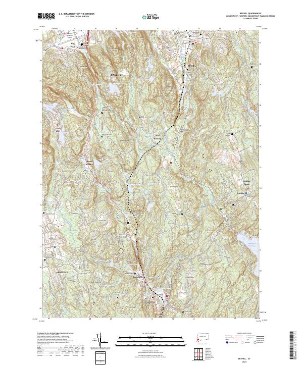
2024 Map of Bethel
USGS Topo · Published 2024About this map
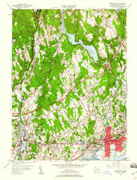
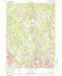
Weir Farm National Historic Site anchors the southern portion of this landscape, preserving the rural character of a region where the hills of western Connecticut meet the evolving suburban sprawl. The terrain is a complex network of ridges and water bodies, including Bogus Mtn, Spruce Mtn, and the waters of Waubeeka Lake and Eureka Lake. This modern survey illustrates the dense layering of local history, where colonial-era burial grounds like Isaac Hamilton Cem and Umpawaug Cem sit adjacent to modern residential developments.
Find a feature on this map
280 named features on this map. Tap any name to fly to it.
Don’t see what you’re looking for? This feature index may not catch every label — zoom into the map to look around manually.
Map Details
Editions of this 2024 Bethel Map
This is the sole edition of this map. No revisions or reprints were ever made.
Historical Maps of Topstone Through Time
23 maps found
1943 Norwalk North
Fairfield County, CT
1943 Norwalk South
Fairfield County, CT
1947 Norwalk South
Fairfield County, CT
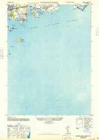
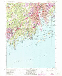
1947 Sherwood Point
Fairfield County, CT
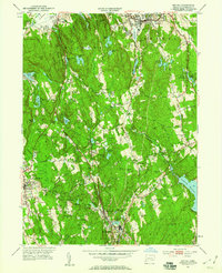
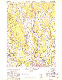
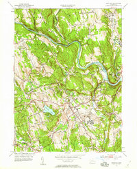
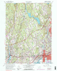
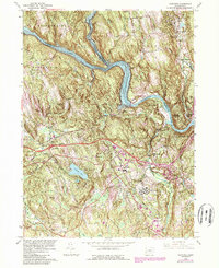
1951 Bethel
Fairfield County, CT
1951 Norwalk North
Fairfield County, CT
1951 Norwalk South
Fairfield County, CT
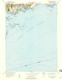
1951 Sherwood Point
Fairfield County, CT
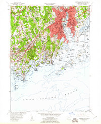
1951 Westport
Fairfield County, CT
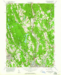
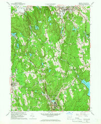
1953 Newtown
Fairfield County, CT
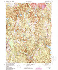
1959 Bethel
Fairfield County, CT
1960 Norwalk North
Fairfield County, CT
1960 Norwalk South
Fairfield County, CT
1960 Sherwood Point
Fairfield County, CT
1960 Westport
Fairfield County, CT
1963 Newtown
Fairfield County, CT
1970 Bethel
Fairfield County, CT
2024 Bethel
Fairfield County, CT
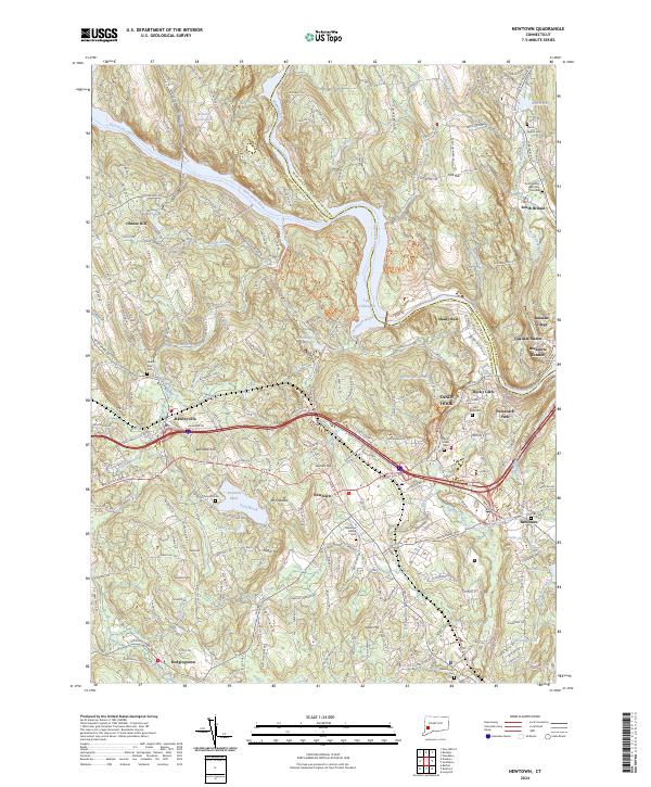
2024 Newtown
Fairfield County, CT
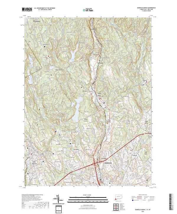
2024 Norwalk North
Fairfield County, CT
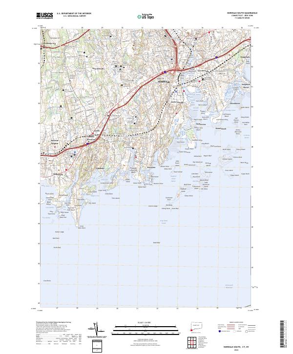
2024 Norwalk South
Fairfield County, CT
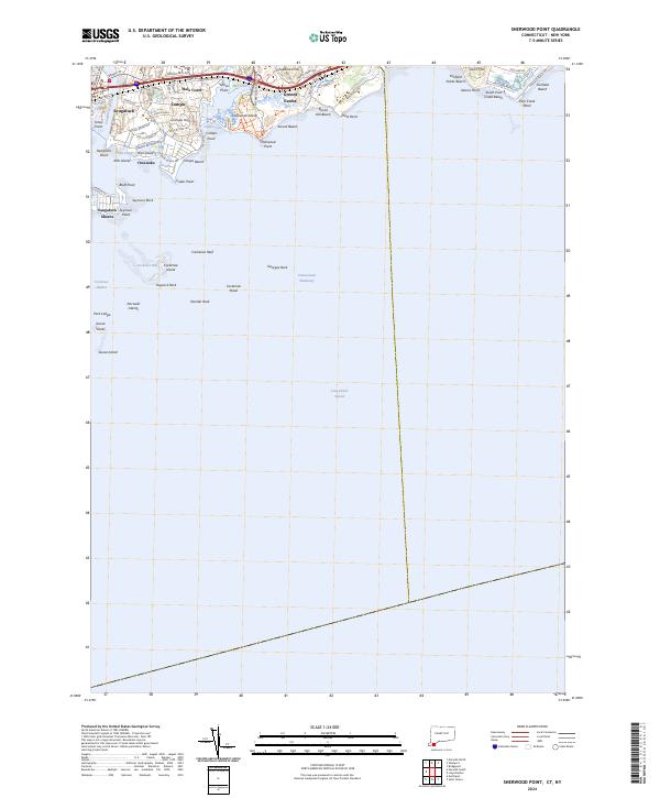
2024 Sherwood Point
Fairfield County, CT
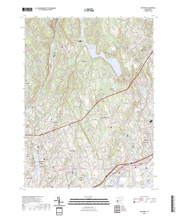
2024 Westport
Fairfield County, CT