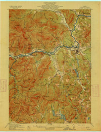
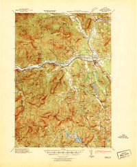
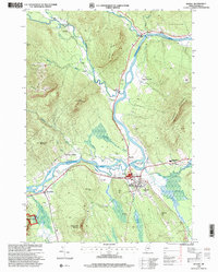
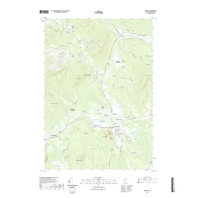
1914 Map of Bethel
USGS Topo · Published 1914About this map
The Androscoggin River winds through the heart of this Oxford County landscape, serving as the primary corridor for both the Grand Trunk RR and a string of riverside settlements including Mayville, West Bethel, and North Bethel. The early 20th-century topography reveals a well-established network of rural education, with several localized schoolhouses such as the Sunday River School, Chapman School, and Bartlettboro School serving the scattered mountain and valley communities.
Find a feature on this map
145 named features on this map. Tap any name to fly to it.
Don’t see what you’re looking for? This feature index may not catch every label — zoom into the map to look around manually.
Map Details
Editions of this 1914 Bethel Map
5 editions found

Historical Maps of Bethel Through Time
11 maps found
1914 Bethel
Oxford County, ME
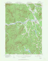
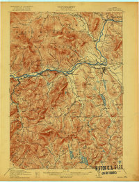
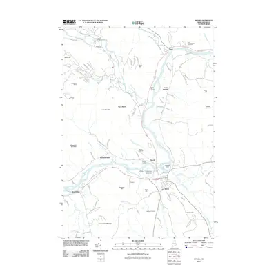
1940 Bethel
Oxford County, ME
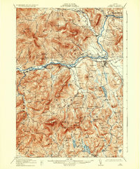
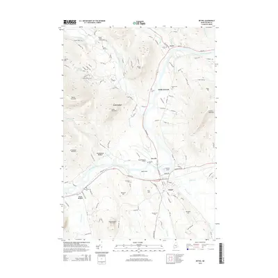
1941 Bethel
Oxford County, ME
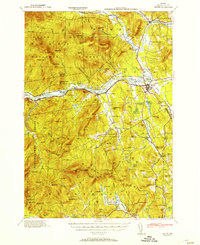
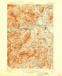
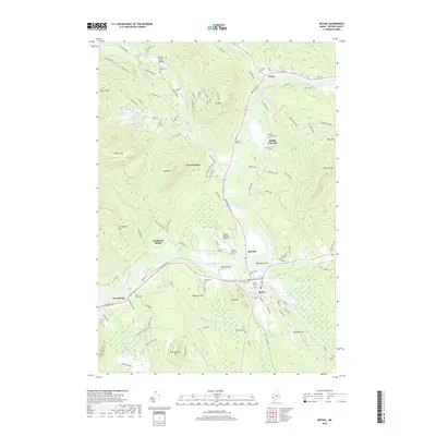
1953 Bethel
Oxford County, ME
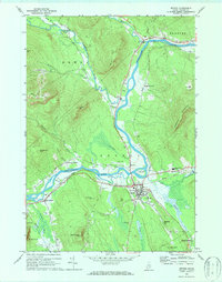
1970 Bethel
Oxford County, ME
1995 Bethel
Oxford County, ME
2012 Bethel
Oxford County, ME
2014 Bethel
Oxford County, ME
2018 Bethel
Oxford County, ME
2021 Bethel
Oxford County, ME
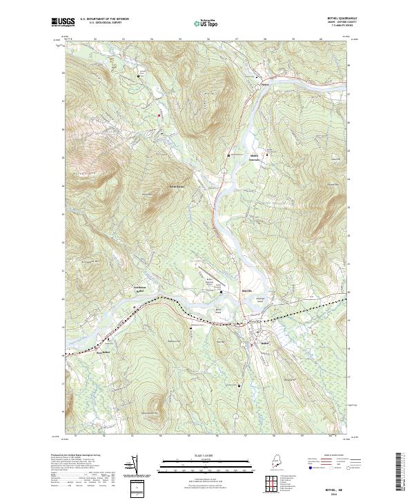
2024 Bethel
Oxford County, ME