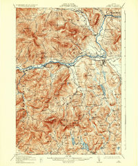
1914 Map of Bethel
USGS Topo · Published 1935About this map
The Androscoggin River carves a deep valley through this Oxford County landscape, serving as the primary corridor for both the Grand Trunk RR and a cluster of settlements including Bethel, West Bethel, and Mayville. Surveyed in the early 1910s, the map reveals a rural economy organized around river-fed agriculture and timber, with numerous district schools like the Chapman School and Mason School serving isolated hillside communities. Further south, the terrain transitions into a dense network of water bodies such as Kezar Lake, Songo Pond, and Papoose Pond near the Stoneham and Albany township lines.
Find a feature on this map
123 named features on this map. Tap any name to fly to it.
Don’t see what you’re looking for? This feature index may not catch every label — zoom into the map to look around manually.
Map Details
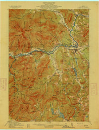
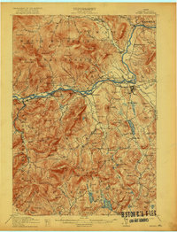
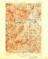
Editions of this 1914 Bethel Map
5 editions found
Other maps of this area

1893 · Gorham
USGS Topo · 1:62,500

1894 · North Conway
USGS Topo · 1:62,500

1896 · Norway
USGS Topo · 1:62,500

1896 · North Conway
USGS Topo · 1:62,500

1896 · Gorham
USGS Topo · 1:62,500

1909 · Fryeburg
USGS Topo · 1:62,500

1911 · Fryeburg
USGS Topo · 1:62,500

1911 · Bryant Pond
USGS Topo · 1:62,500

1914 · Bethel
USGS Topo · 1:62,500

1914 · Bryant Pond
USGS Topo · 1:62,500