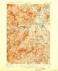
1914 Map of Bethel
USGS Topo · Published 1944About this map
Bethel serves as the central hub of this pre-World War I era survey, situated at the confluence of the Androscoggin River and the Grand Trunk R R. The map reveals a landscape defined by its mountain peaks and river valleys, where small farming and logging communities like North Bethel, West Bethel, and Hastings are linked by rural roads and bridges. A dense network of local education is visible through several district schoolhouses, including the Sunday River School, Peabody School, and Flat School, reflecting the era's decentralized community structure.
Find a feature on this map
136 named features on this map. Tap any name to fly to it.
Don’t see what you’re looking for? This feature index may not catch every label — zoom into the map to look around manually.
Map Details
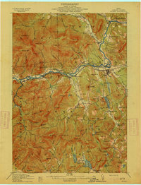
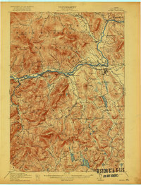
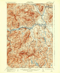
Editions of this 1914 Bethel Map
5 editions found
Other maps of this area

1893 · Gorham
USGS Topo · 1:62,500

1894 · North Conway
USGS Topo · 1:62,500

1896 · Norway
USGS Topo · 1:62,500

1896 · North Conway
USGS Topo · 1:62,500

1896 · Gorham
USGS Topo · 1:62,500

1909 · Fryeburg
USGS Topo · 1:62,500

1911 · Fryeburg
USGS Topo · 1:62,500

1911 · Bryant Pond
USGS Topo · 1:62,500

1914 · Bethel
USGS Topo · 1:62,500

1914 · Bryant Pond
USGS Topo · 1:62,500