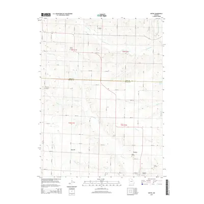
2014 Map of Bethel
USGS Topo · Published 2014About this map
Bethel anchors the southeastern corner of this North Missouri landscape, where the drainage basins of several prominent forks and rivers converge. The terrain is defined by the winding paths of the Little Fabius River in the north and the North River cutting through the center, creating a corrugated topography of ridges and stream valleys. Small agricultural communities such as Epworth and Hebron are connected by a geometric grid of county roads, including Shelby 150 and Shelby 124, reflecting a long-established rural settlement pattern.
Find a feature on this map
74 named features on this map. Tap any name to fly to it.
Don’t see what you’re looking for? This feature index may not catch every label — zoom into the map to look around manually.
Map Details
Editions of this 2014 Bethel Map
This is the sole edition of this map. No revisions or reprints were ever made.
Other maps of this area

1903 · Kahoka
USGS Topo · 1:125,000

1903 · Palmyra
USGS Topo · 1:125,000

1903 · Edina
USGS Topo · 1:125,000

1948 · Quincy
USGS Topo · 1:250,000

1950 · La Belle
USGS Topo · 1:24,000

1951 · La Belle
USGS Topo · 1:24,000

1953 · Moberly
USGS Topo · 1:250,000

1954 · Centerville
USGS Topo · 1:250,000

1954 · Moberly
USGS Topo · 1:250,000

1956 · Quincy
USGS Topo · 1:250,000