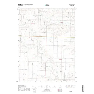
2017 Map of Bethel
USGS Topo · Published 2017About this map
Bethel anchors the southeastern corner of this landscape in Shelby County, where the topography is defined by the branching tributaries of the North River and the South Fabius River. The area maintains a distinctly rural character, with small settlements like Plevna and Epworth connected by a network of county roads. One of the most striking aspects for genealogists is the high density of small, named burial grounds scattered across the townships, including the Baldwin Family Cem, Hickman Cem, and Pence Cem. These sites, often located on rises near creeks such as Owl Cr and Mesner Br, suggest a long-standing pattern of family-centered land ownership and localized community centers. The northern portion of the map crosses into Knox County, following the course of the Little Fabius River through a series of creek valleys and wooded draws.
Find a feature on this map
92 named features on this map. Tap any name to fly to it.
Don’t see what you’re looking for? This feature index may not catch every label — zoom into the map to look around manually.
Map Details
Editions of this 2017 Bethel Map
This is the sole edition of this map. No revisions or reprints were ever made.
Other maps of this area

1903 · Kahoka
USGS Topo · 1:125,000

1903 · Palmyra
USGS Topo · 1:125,000

1903 · Edina
USGS Topo · 1:125,000

1948 · Quincy
USGS Topo · 1:250,000

1950 · La Belle
USGS Topo · 1:24,000

1951 · La Belle
USGS Topo · 1:24,000

1953 · Moberly
USGS Topo · 1:250,000

1954 · Centerville
USGS Topo · 1:250,000

1954 · Moberly
USGS Topo · 1:250,000

1956 · Quincy
USGS Topo · 1:250,000