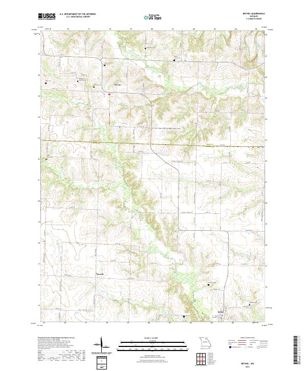
2021 Map of Bethel
USGS Topo · Published 2021About this map
Bethel and the surrounding Shelby County farmland are defined by a dense network of family-named burial sites and small agricultural crossroads. The landscape is carved by the meandering courses of the N River, Tiger Fork, and the Little Fabius River, which drain the rolling terrain between the small settlements of Plevna and Epworth. These communities, though modest in size, are anchored by historical landmarks such as the Baldwin Family Cem and Hickman Cem, reflecting a long-standing pattern of rural residency and family heritage that persists into the 21st century. The map illustrates a transition across the county line into Knox County, where roads like State Hwy TT and State Hwy BB connect isolated farmsteads. The concentration of cemeteries, including Mount Salem Cem and Hebron Cem, provides a significant inventory for researchers tracing the early lineage and rural church foundations of this Missouri interior.
Find a feature on this map
82 named features on this map. Tap any name to fly to it.
Don’t see what you’re looking for? This feature index may not catch every label — zoom into the map to look around manually.
Map Details
Editions of this 2021 Bethel Map
This is the sole edition of this map. No revisions or reprints were ever made.
Other maps of this area

1903 · Kahoka
USGS Topo · 1:125,000

1903 · Palmyra
USGS Topo · 1:125,000

1903 · Edina
USGS Topo · 1:125,000

1948 · Quincy
USGS Topo · 1:250,000

1950 · La Belle
USGS Topo · 1:24,000

1951 · La Belle
USGS Topo · 1:24,000

1953 · Moberly
USGS Topo · 1:250,000

1954 · Centerville
USGS Topo · 1:250,000

1954 · Moberly
USGS Topo · 1:250,000

1956 · Quincy
USGS Topo · 1:250,000