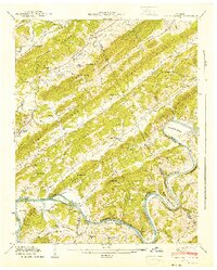
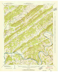
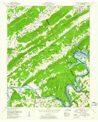
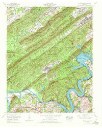
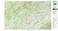
1941 Map of Bethel Valley
USGS Topo · Published 1941This historical map portrays the area of Bethel Valley in 1941, primarily covering Roane County as well as portions of Knox County, Anderson County, and Loudon County. Featuring a scale of 1:24000, this map provides a highly detailed snapshot of the terrain, roads, buildings, counties, and historical landmarks in the Bethel Valley region at the time. Published in 1941, it is one of 3 known editions of this map due to revisions or reprints.
Find a feature on this map
105 named features on this map. Tap any name to fly to it.
Don’t see what you’re looking for? This feature index may not catch every label — zoom into the map to look around manually.
Map Details
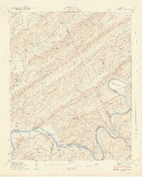
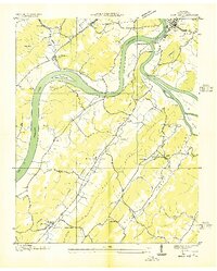
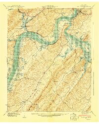
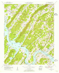
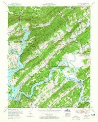
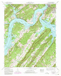
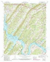
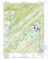
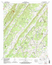
Editions of this 1941 Bethel Valley Map
3 editions found
Historical Maps of Oak Ridge Through Time
23 maps found

1935 Bethel Valley
Roane County, TN

1935 Elverton
Roane County, TN
1936 Bacon Gap
Roane County, TN

1936 Cave Creek
Roane County, TN

1936 Pattie Gap
Roane County, TN
1940 Bacon Gap
Roane County, TN

1940 Cave Creek
Roane County, TN

1940 Pattie Gap
Roane County, TN
1941 Bethel Valley
Roane County, TN
1941 Elverton
Roane County, TN
1952 Bacon Gap
Roane County, TN
1952 Pattie Gap
Roane County, TN
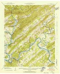
1953 Bethel Valley
Roane County, TN
1953 Cave Creek
Roane County, TN
1953 Elverton
Roane County, TN
1968 Bacon Gap
Roane County, TN
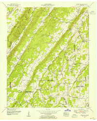
1968 Bethel Valley
Roane County, TN
1968 Cave Creek
Roane County, TN
1968 Elverton
Roane County, TN
1973 Pattie Gap
Roane County, TN
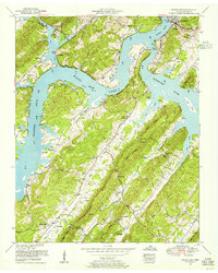
1981 Watts Bar Lake
Roane County, TN

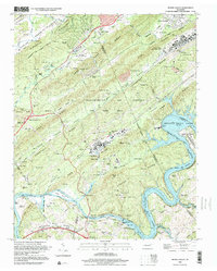
1989 Bethel Valley
Roane County, TN
1998 Bethel Valley
Roane County, TN